Assemblymember Sues Over California Maps, Challenges District Lines
On November 5, 2025, Assemblymember David Tangipa, a Republican from Clovis, filed a federal lawsuit challenging California's newly adopted congressional maps that followed passage of Proposition 50. The complaint alleges the maps unlawfully favor certain voters and raises constitutional claims including equal protection, a dispute that could reshape representation and voting dynamics across Fresno County and the Central Valley.
Assemblymember David Tangipa filed a federal lawsuit on November 5, 2025, seeking to overturn California's new congressional district maps that were adopted after passage of Proposition 50. The complaint contends the maps unlawfully favor certain voters and advances constitutional claims, including equal protection arguments, setting up a legal fight over how communities in Fresno County and the broader Central Valley will be represented in Congress.
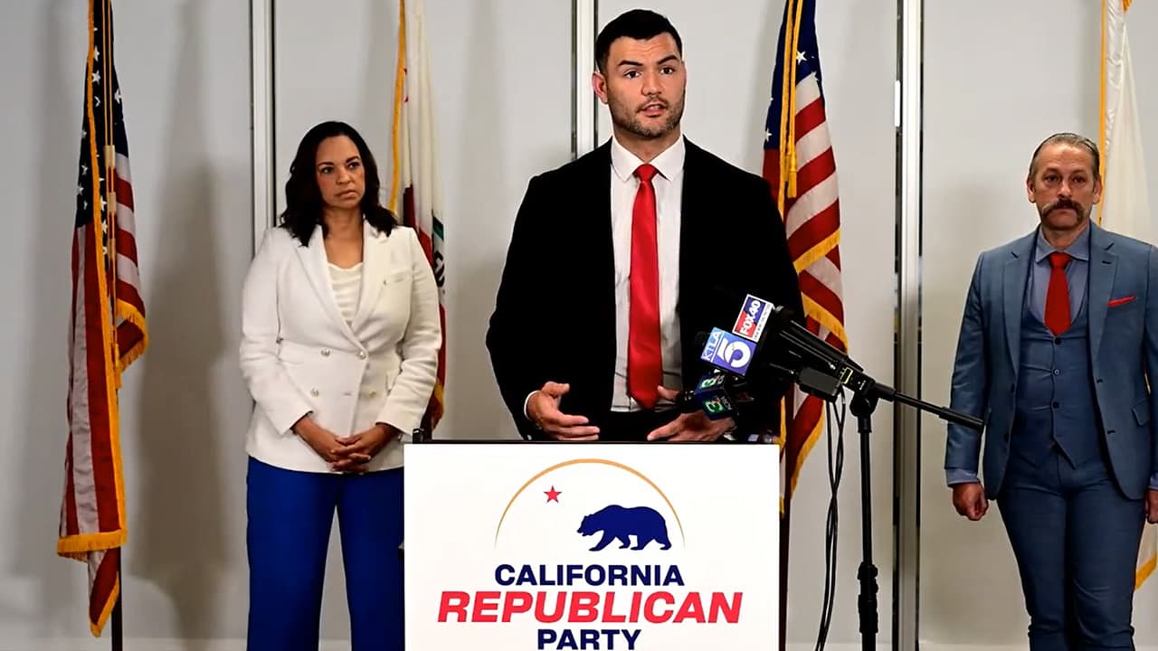
Tangipa represents Clovis and frames the challenge as a statutory and constitutional contest against the post Proposition 50 maplines. His filing comes after statewide approval of Proposition 50 and after the legislature or relevant redistricting bodies implemented new congressional boundaries. The lawsuit was presented to the public at a news conference covered by GV Wire, which outlined Tangipa's legal claims and the political context around the measure and the maps.
The GV Wire account noted that although Proposition 50 passed statewide, it received less voter support in parts of the Central Valley. That geographic split is central to the dispute, because redistricting decisions that follow a statewide ballot measure can have differing impacts across regions, affecting whether communities of interest remain intact and how voting power is distributed. State and local leaders offered reactions to the filing, and the report indicated possible next steps in court, including motions and briefing that would determine whether the maps stay in place for upcoming election cycles.
For Fresno County residents, the lawsuit raises immediate questions about which communities will fall inside particular congressional districts, who will represent them in Washington, and how political resources and attention might be allocated. Maps determine the competitive landscape for candidates, influence fundraising and campaign strategy, and shape constituents access to federal representatives. If a court orders revisions, precincts and neighborhoods in Fresno County could see significant changes on the ballot for the next federal elections.
The legal path ahead includes initial federal court filings, possible requests for preliminary relief, and a potential trial on the constitutional claims. Any decision could be appealed, prolonging the dispute into the next election cycle and injecting uncertainty into candidate planning and voter information efforts. That uncertainty can depress civic engagement if voters are unclear about district lines or who will be on their ballots.
Beyond the immediate litigation, the case highlights broader institutional questions about how California balances statewide ballot outcomes with regional voting patterns when drawing maps. The equal protection claim raises constitutional scrutiny of whether certain voters were treated differently by the mapping process. The outcome will carry implications for how future redistricting exercises account for regional preferences and preserve community representation.
As the case moves through federal court, Fresno County officials, community organizations, and voters will need to monitor filings and deadlines closely. Clear and timely public information will be essential to ensure residents understand any changes to their congressional districts and to protect informed participation in upcoming elections.