Community Documents King Tides, Islanders Urged to Help Track Flood Risk
The Department of Ecology recently published its winter king tide schedule, and local officials asked Whidbey Island residents to photograph and document high water events to improve planning for coastal hazards. King tides are expected in Puget Sound Dec. 16 through 19 and Jan. 14 through 17, and citizen photos will help communities map risk and prioritize resilience efforts.
The Department of Ecology published its winter king tide schedule this week and local officials encouraged residents on Whidbey Island to photograph and document high water events. Puget Sound king tides of particular concern are expected Dec. 16 through 19 and Jan. 14 through 17, and organizers say community submitted photos will fill gaps in official observation networks.
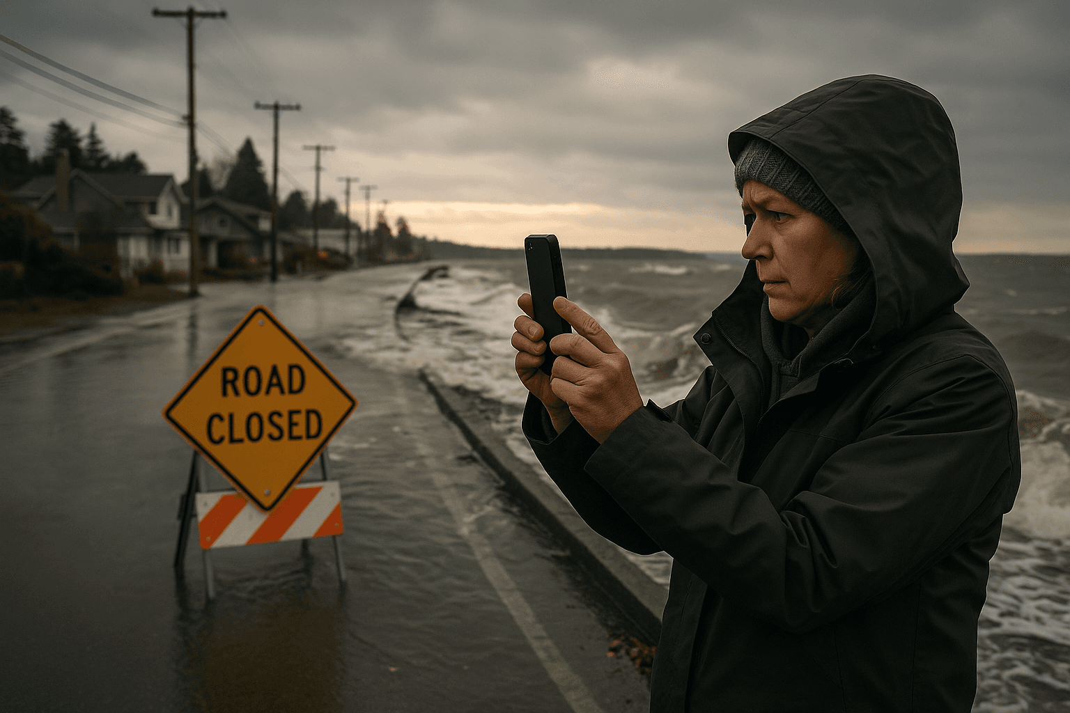
Participants are asked to use Ecology's king tide map to choose locations, pick a public beach or a visible landmark for consistent reference, note date, time and exact location, and upload their images to the Washington King Tide Photo Initiative Flickr group. Those simple steps create a time stamped, place based record that coastal planners and emergency managers can use to compare current conditions with historical baselines and model future flooding scenarios.
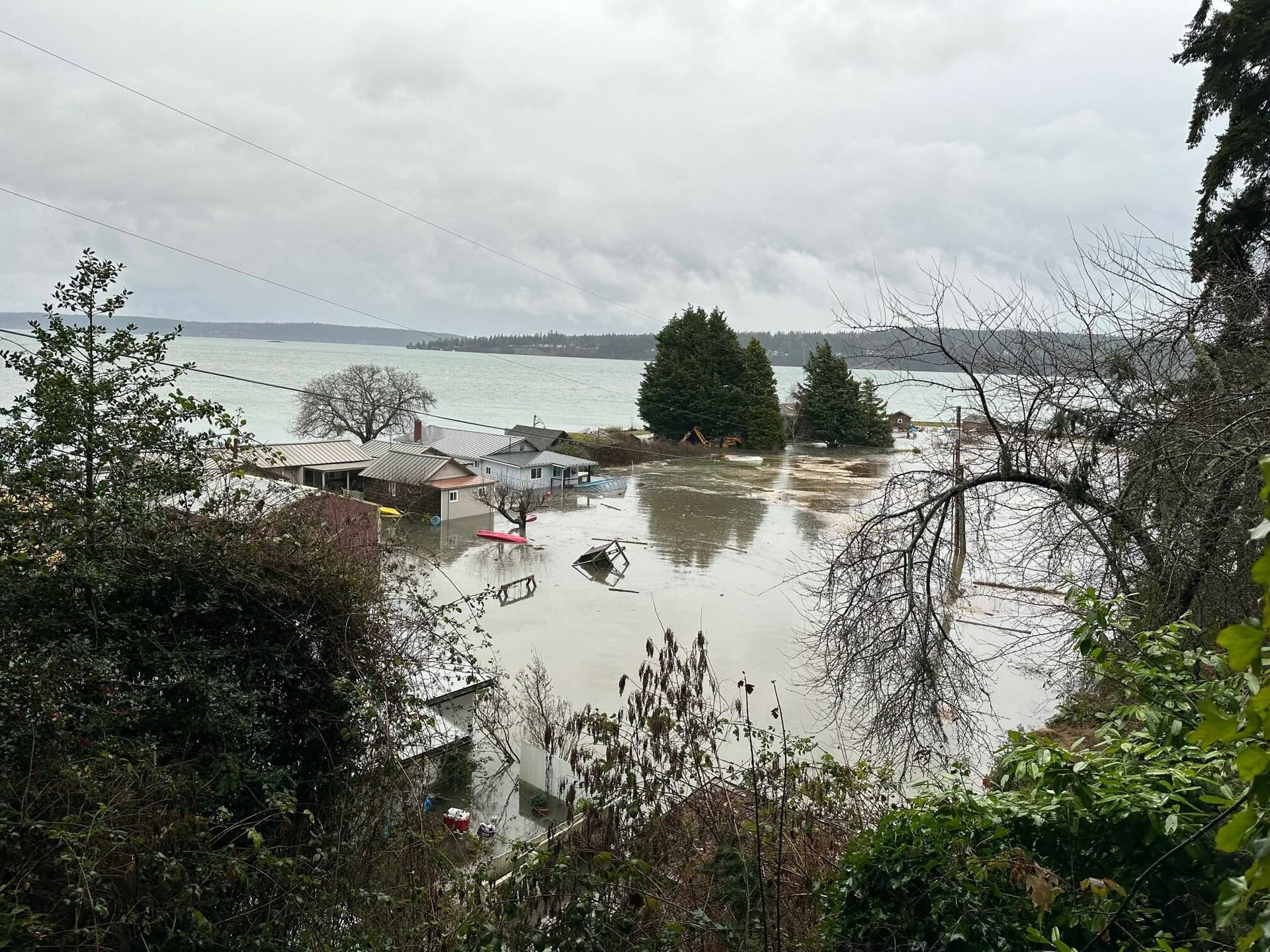
Whidbey has experienced localized flooding and infrastructure impacts during past king tide events. Low lying roads, drainage systems and shorefront access points have shown vulnerability during extreme high water, and community based photos can sharpen the case for investments in shoreline repairs, drainage upgrades and emergency response planning. For residents, better documentation translates into stronger evidence when requesting county repairs, grant funding, or changes to local development policies.
Beyond physical damage, king tides carry public health implications. Flooded roadways and compromised access can delay medical care and disrupt services for people who rely on regular clinic visits or prescription deliveries. Contamination risks to drinking water systems and septic systems can create secondary health hazards, and those with limited mobility, older adults and low income households often face the greatest barriers to recovery.
Collecting community generated imagery is a form of civic science that can advance equity by ensuring that small scale, neighborhood level impacts are visible to decision makers. Local planners and agencies rely on that documentation to prioritize where to strengthen infrastructure and where to direct outreach and assistance so that emergency plans protect the most vulnerable residents.
Officials say photographing king tide events is simple and useful. Islanders who can safely document high water without entering hazardous areas are encouraged to participate and help build the evidence base for more resilient shores and healthier communities.