Eugene Riverbank Path System Links Downtown Parks and Commerce
Eugene’s Riverbank Path System is a continuous network of paved multi use trails that follow the Willamette River and connect downtown destinations, neighborhood parks and regional recreation corridors. The paths support active transportation, community events and local business foot traffic while offering accessible recreation and seasonal safety guidance for Lane County residents.

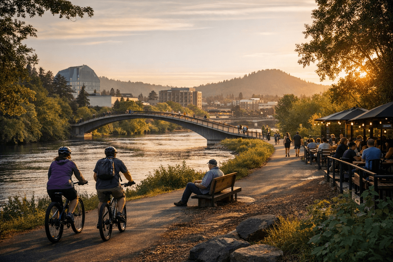
The Riverbank Path System runs through the heart of Eugene, tracing the Willamette River and linking the Hult Center, Fifth Street Public Market and the Farmers’ Market Pavilion with neighborhood parks, boat ramps and longer regional corridors. For local residents the network functions as both a recreational asset and a practical transportation artery, supporting informal recreation, organized races and steady foot traffic that feeds downtown businesses and cultural venues.
Trail surfaces are primarily paved multi use paths, suitable for walking, running, wheelchairs, strollers and most bikes, while some side trails remain gravel. Key access points include Alton Baker Park, with its large staging and parking area and restrooms, the Ferry Street Bridge, Skinner Butte Park, Park Blocks and several downtown access points. Amenities along the system include restroom buildings at major parks, picnic shelters, public art, river overlooks, playgrounds at park nodes and wayfinding signage.
The path is shared use. Users are asked to keep right, pass left, signal or call out when overtaking, and obey posted speed limits for bicycles. Dogs must be on leash in many locations, but leash rules vary by park so check signage. Most paths are open dawn to dusk, and some downtown adjacent stretches are lit after dark, however runners and cyclists should carry lights for visibility in winter months when daylight is short.
Parking is available at major parks including Alton Baker and Fern Ridge trailheads, and many spots are within biking distance of downtown. The network is also served by LTD bus routes, expanding access for non drivers. Many trailheads and boardwalk segments are ADA accessible, and users should check City of Eugene Parks & Open Space for specifics and map PDFs before planning trips.
Practical preparation improves safety and conservation outcomes. Bring layered rain gear during wet months, plan for muddy side trails after storms, and respect riverbank habitat closures in nesting seasons. From a policy perspective the Riverbank Path System represents a long term investment in active transportation, public health and downtown economic vitality, and maintaining year round access will require ongoing attention to lighting, maintenance and habitat protection. Consult city maps for the most up to date detours or maintenance closures before heading out.
Sources:
Know something we missed? Have a correction or additional information?
Submit a Tip