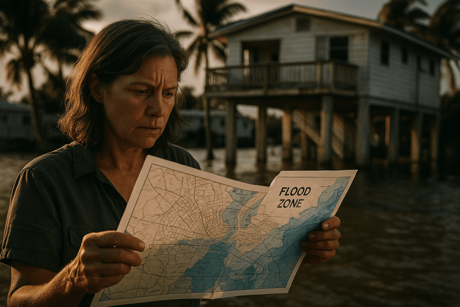
Federal Flood Map Changes Affect Monroe County Property and Insurance
A federal notice published December 8, 2025 updates flood hazard determinations that include Monroe County unincorporated areas, with final map changes set for early January 2026. The revisions can influence flood insurance requirements, building permits, and property planning across the Florida Keys, and residents should review technical materials and note a 90 day reconsideration window.

A federal notice released December 8, 2025 listed changes to Base Flood Elevations, Special Flood Hazard Area boundaries, and related flood hazard determinations that affect Monroe County unincorporated areas. The notice identifies specific map modifications and states that final determinations for some entries are scheduled to be finalized in early January 2026, with example finalization dates shown as January 2, 2026 and January 9, 2026. Detailed Letter of Map Revision materials and technical documentation are posted online.
The notice outlines the formal procedures for finalizing determinations and establishes a 90 day period during which communities may file requests for reconsideration, beginning from the second publication of the local notice. Community map repository addresses are listed for inspection and review, and FEMA has directed residents and officials to the FEMA Map Service Center at msc.fema.gov for full LOMR materials and supporting Flood Insurance Study reports.
The immediate practical impact on Monroe County residents can be significant. Changes to Flood Insurance Rate Maps can alter whether a property lies inside a Special Flood Hazard Area, which in turn may affect federal flood insurance requirements for mortgages, influence insurance premiums, and change local building and permitting rules for new construction and major renovations. Property owners in the Florida Keys who are buying, selling, refinancing, renovating, or planning long term investments should verify the revised maps to understand potential compliance and cost implications.
County officials, insurers, mortgage lenders, and homeowners should inspect the posted technical materials and the county map repository listings promptly. Communities that believe an error has been made may prepare a request for reconsideration within the 90 day window after local reissuance of notice. These map updates follow broader trends of coastal reassessment and mapping modernization, and they will feed into local planning and resilience efforts as Monroe County adapts to evolving flood risk.