First Snowfall Drops Up to Five Inches, Dry Stretch Returns
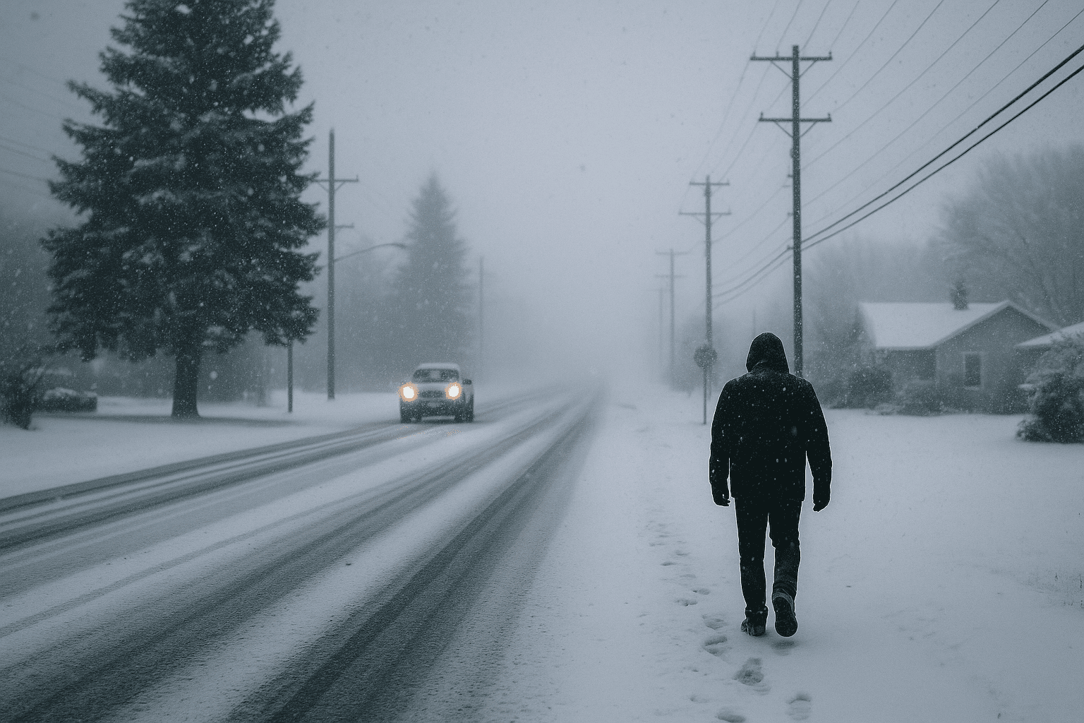
San Juan County saw the season's first measurable snowfall on December 3, with up to 5 inches recorded in northeastern pockets of the county, providing a brief reprieve from dry conditions. Meteorologists say the short burst of snow fits local climatology, but a forecast for below normal precipitation means little relief for long term water and winter recreation prospects.
A narrow band of cold air moved over San Juan County on December 3, producing the season's first measurable snow and leaving as much as 5 inches in parts of the northeastern county. The highest total was 5 inches at a location 5.2 miles east of Aztec. Other observations included 2.2 inches three miles northeast of Aztec and 4 inches near Cedar Hill. Most roadways remained wet, and local law enforcement reported a small number of traffic incidents related to the weather. The San Juan County Sheriff’s Office responded to four crashes, and the Farmington Police Department handled one crash related to conditions.
Clay Anderson, a meteorologist in Albuquerque, said accumulations “varied significantly depending on location,” with areas near the San Juan River seeing the least snow. He described the distribution as fitting local patterns, noting the recent perception of lighter seasons in Farmington is consistent with broader trends. Anderson said these totals are “not atypical,” and while they might seem “abnormal,” they “fit perfectly in the climatology of the area.”
The short event brought a temporary cooldown, but forecasters expect drier weather to return quickly. Anderson said, “We are anticipating all of the state to have near to below normal precipitation with the Four Corners area having less precipitation than normal,” and he has a “high degree of confidence” there will be no precipitation for the next eight to 10 days. A separate Pacific Northwest storm system could bring snow around December 16 to 18, but that remains uncertain.
For residents and local officials the immediate impacts were small, limited to wet roads and a handful of weather related crashes. The longer term implications matter more for water managers, ranchers, and the winter recreation economy because below normal precipitation over the season could translate to reduced snowpack and lower reservoir inflows. County public works and road crews will monitor conditions and adjust operations as storms arrive, and residents should check official county channels for road advisories and closures during future events.

