Flood Watch Issued for Menominee County After Heavy Rain Risk
The National Weather Service issued a Flood Watch for Menominee County on Jan. 8 as heavy rain falling on an already deep snowpack raised the risk of rapid snowmelt, increased runoff and ice-jam flooding. The watch highlighted potential impacts to low-lying areas, roads and rivers such as the Wolf River, making preparedness and caution essential for residents in Keshena, Neopit and surrounding communities.
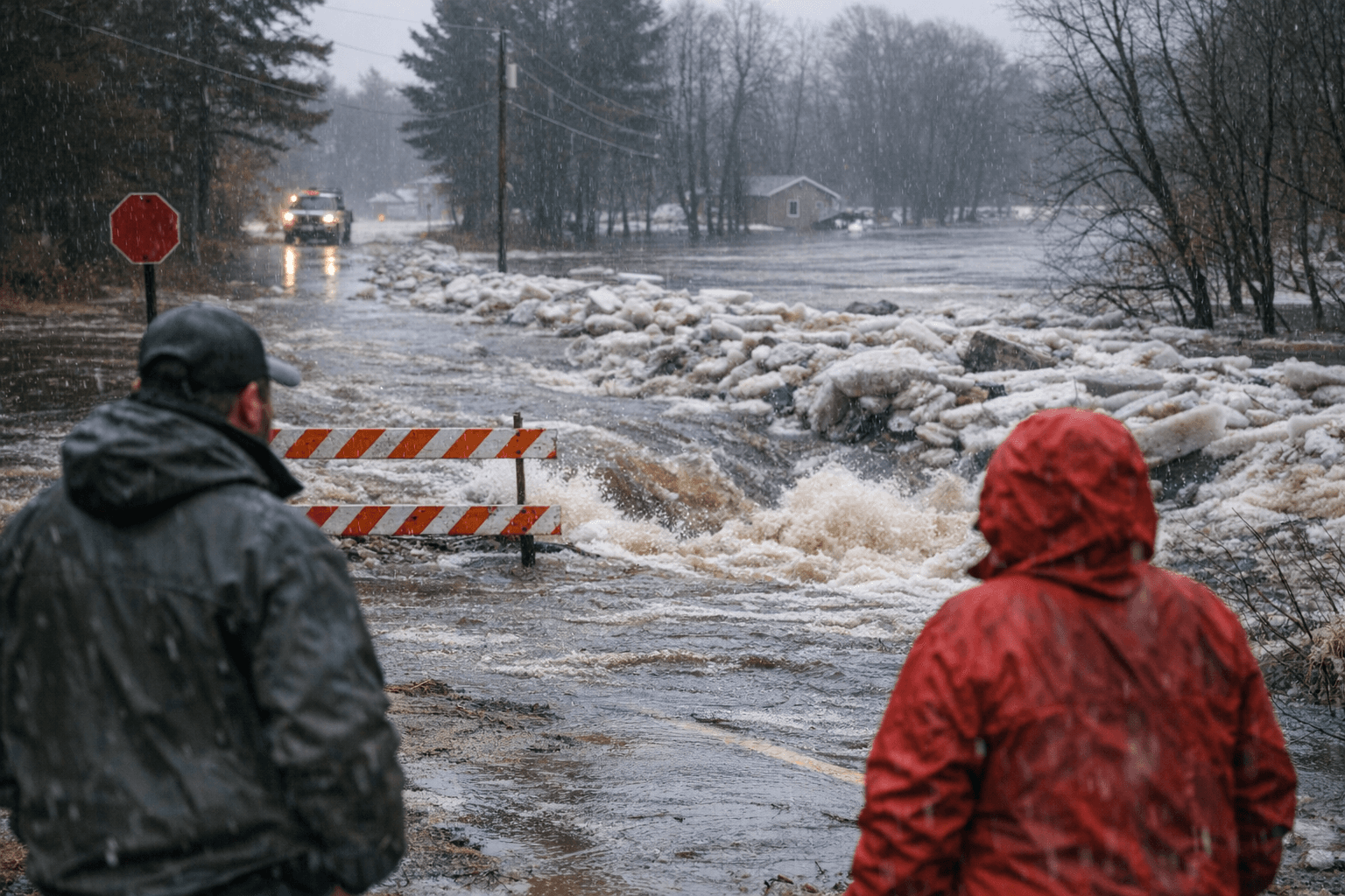
A Flood Watch covering Menominee County was issued on Jan. 8, warning that heavy rain falling on a deep, primed snowpack and over partially frozen ground could produce rapid runoff and quick rises on area streams and rivers. The watch was valid through the overnight period into the following day and called out possible ponding, minor flooding of low-lying and poor-drainage locations, and an increased potential for ice jams on rivers including the Wolf River.
Forecasters noted that flows in rivers and creeks could rise quickly and reach critical levels, and that storm drains and ditches clogged with ice and snow may lead to flooding of adjacent roads. Local travel could be affected as water ponds on roadways or as ice-jam events force sudden upstream rises. Residents of Keshena, Neopit and other Menominee County communities were advised to avoid flooded roadways and to monitor updates from local emergency management and weather services.
Even when flood depths are localized, the economic and community impacts can be meaningful. Flooded rural roads can interrupt school transportation, delay deliveries of goods and supplies, and raise municipal cleanup and repair costs for county road crews. Ice-jam flooding on the Wolf River could threaten riverside infrastructure and properties and require emergency pumping or debris removal. For households, localized flooding often generates short-term displacement and cleanup expenses as well as potential damage to basements and utilities in low-lying properties.
The combination of a saturated snowpack and rain on partially frozen ground creates conditions where runoff is less readily absorbed, increasing the speed and volume of river responses. That dynamic makes early situational awareness important for homeowners, farmers and small businesses that rely on road access and timely deliveries. Local officials emphasized monitoring road conditions and avoiding travel where water covers the roadway.
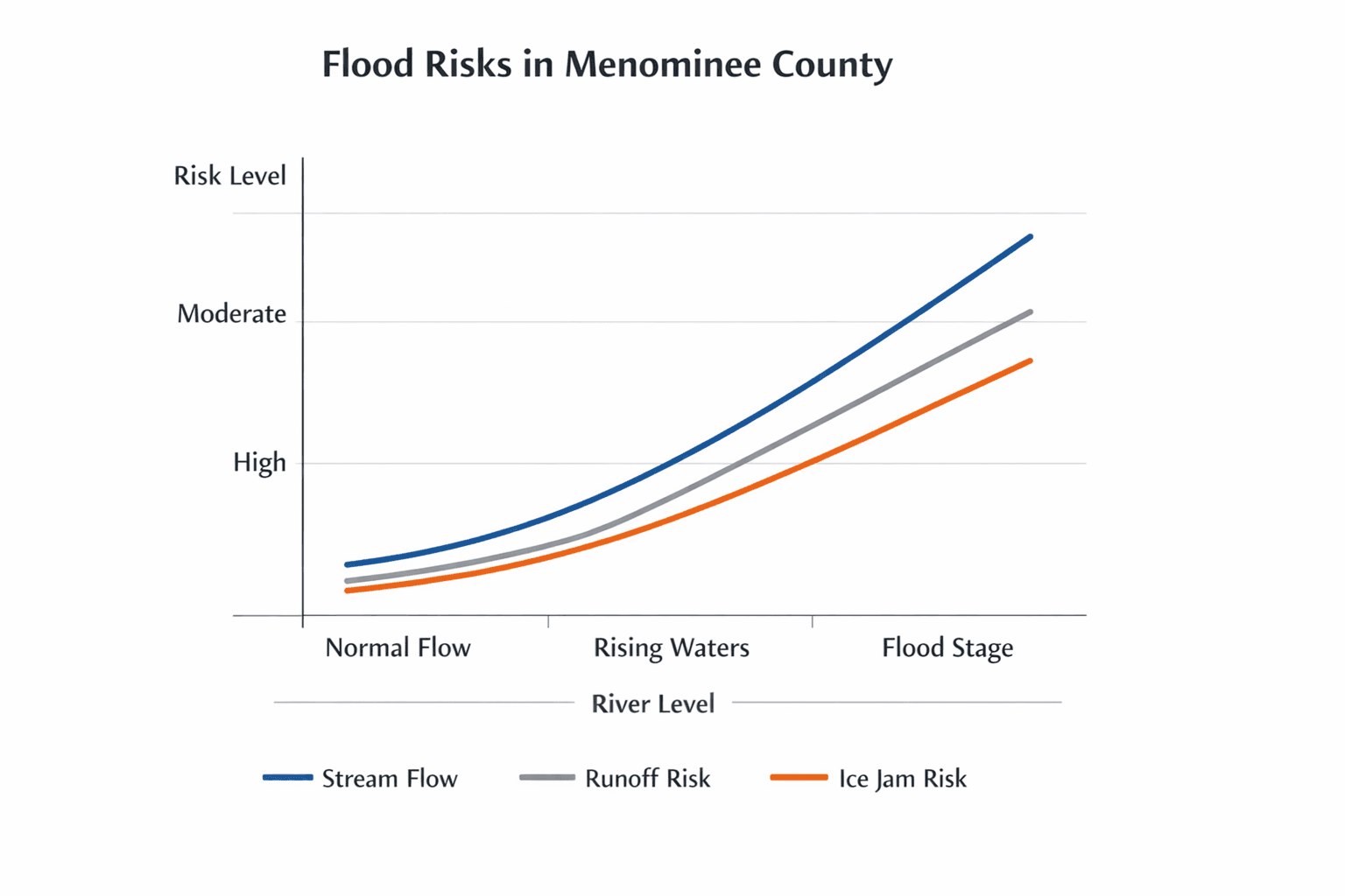
Though the watch signaled heightened risk rather than confirmed widespread flooding, the scenario underscored vulnerabilities common to winter rain-on-snow events: clogged storm drains, rapid river rises and the potential for ice jams that can cause sudden, localized inundation. Residents should continue to follow local emergency updates and weather products for any escalations, stay clear of flooded or icy riverbanks, and prepare for short-term disruptions to travel and services while crews assess and respond to any impacts.
Sources:
Know something we missed? Have a correction or additional information?
Submit a Tip