Heavy November Storm Boosts Fresno Rainfall, Improves Early Water Year
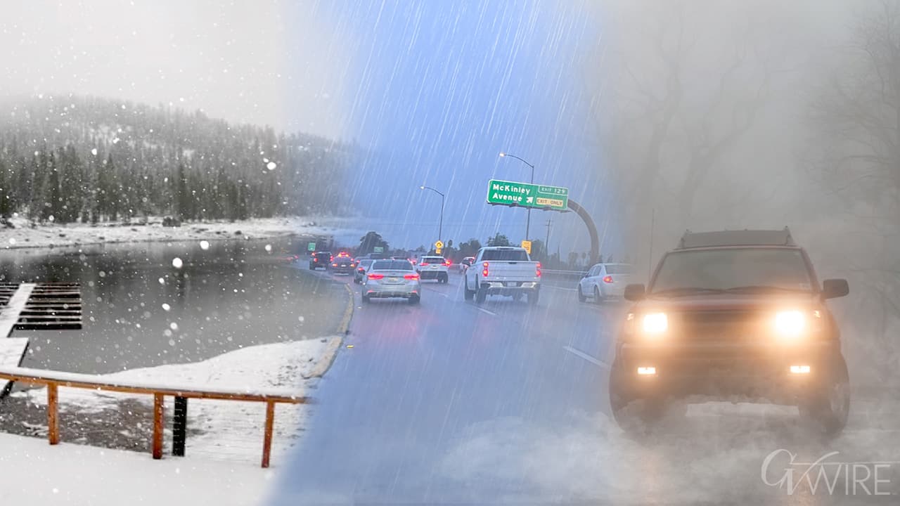
A prolonged storm on November 17 drenched Fresno with nearly 2.5 inches of rain by midmorning, pushing rainfall to about 353 percent of normal for the early water year. The downpour produced travel delays on arterial streets and raised hopes for reservoirs and Sierra snowpack as the region enters the wet season.
Fresno County experienced a significant early season storm on November 17 that delivered nearly 2.5 inches of rain through midmorning, according to National Weather Service data. That total drove precipitation for the early water year to roughly 353 percent of normal, a sharp departure from the drier conditions that characterized recent years.
The National Weather Service in Hanford forecast additional rain and Sierra snow following the initial downpour, with snow levels falling to about 5,000 feet. Forecasters also expected a temporary lull before more precipitation later in the week, signaling a pattern of intermittent storms that can be important for building watershed supply rather than a single replenishing event.
The immediate effects were visible on local roads. Drivers reported ponding and slowdowns on major arterials as crews cleared debris and drained low spots. Transit schedules saw minor disruptions during the morning commute, and the wet conditions prompted city crews to monitor drainage systems and arterial intersections for clogging and localized flooding. No major infrastructure failures were reported in Fresno County, but the storm underscored vulnerabilities on streets that have seen repeated water damage in recent wet seasons.
Beyond travel impacts, the rainfall has important implications for water managers and the agricultural economy. The jump to 353 percent of normal for the early water year improves short term hydrologic outlooks and increases the probability that reservoirs and soils will receive more meaningful inflows once the Sierra snowpack builds. Snow levels near 5,000 feet favor accumulation across a broader elevation range in the Sierra Nevada, where snowpack serves as the region's natural storage and moderates spring runoff timing for reservoirs used by municipal and irrigation districts.
For farmers and water districts in Fresno County, increased early precipitation can ease pressure on groundwater pumping if the wetter pattern persists. Economically, reduced reliance on pumped groundwater can lower costs for growers and slow land subsidence that has damaged infrastructure in parts of the valley. Policy choices by reservoir operators and state water managers will matter as storms continue, because timing and intensity of follow up precipitation determine whether extra water is captured or lost to rapid runoff.
As the wet season gets underway, residents should expect on and off rain periods and plan for continued impacts on travel during heavy downpours. Local officials will be watching reservoir levels, snowpack reports, and forecast updates from the National Weather Service in Hanford to shape water operations and public advisories in the weeks ahead.