Late Season Snow Returns to Wasatch, More Expected This Week
A late November storm on December 1 dropped measurable snow across the Wasatch, including up to 10 inches in higher elevations and 5 to 6 inches around Park City mountains, and forecasters say another system will arrive Tuesday and Wednesday. The additional snow will affect travel, recreation plans, and the persistent regional snowpack deficit that still shows below normal readings on SNOTEL sites.

A late season storm that moved through on December 1 brought measurable accumulation to Summit County and the broader Wasatch, with reports of up to 10 inches in parts of the range and roughly 5 to 6 inches in the Park City area mountains. Forecasters working with model guidance project another system arriving Tuesday and Wednesday that could produce an additional 4 to 9 inches in the Wasatch, with smaller amounts expected in town and at resort bases.
The recent accumulation offers some short term relief for winter recreation, but does not erase larger deficits. Short term SNOTEL observations show the regional snowpack remains well below normal across many locations despite the recent storms. That continuing shortfall matters for water managers, ski operations and summertime runoff projections later in the season because an underperforming snowpack can translate into reduced spring and summer streamflow.
Temperature trends will shape how useful the new snow is for local users. Nights are expected to be cold, promoting consolidation and freeze of shallow surfaces, while daytime highs will hover near freezing. Those conditions increase the chance of overnight refreeze on roads and trails, raising slick conditions for morning commuters and early day recreationists. Resort bases typically receive smaller accumulations than ridge and upper slope locations, so base area snow depth gains will likely lag totals reported on mountain crowns.
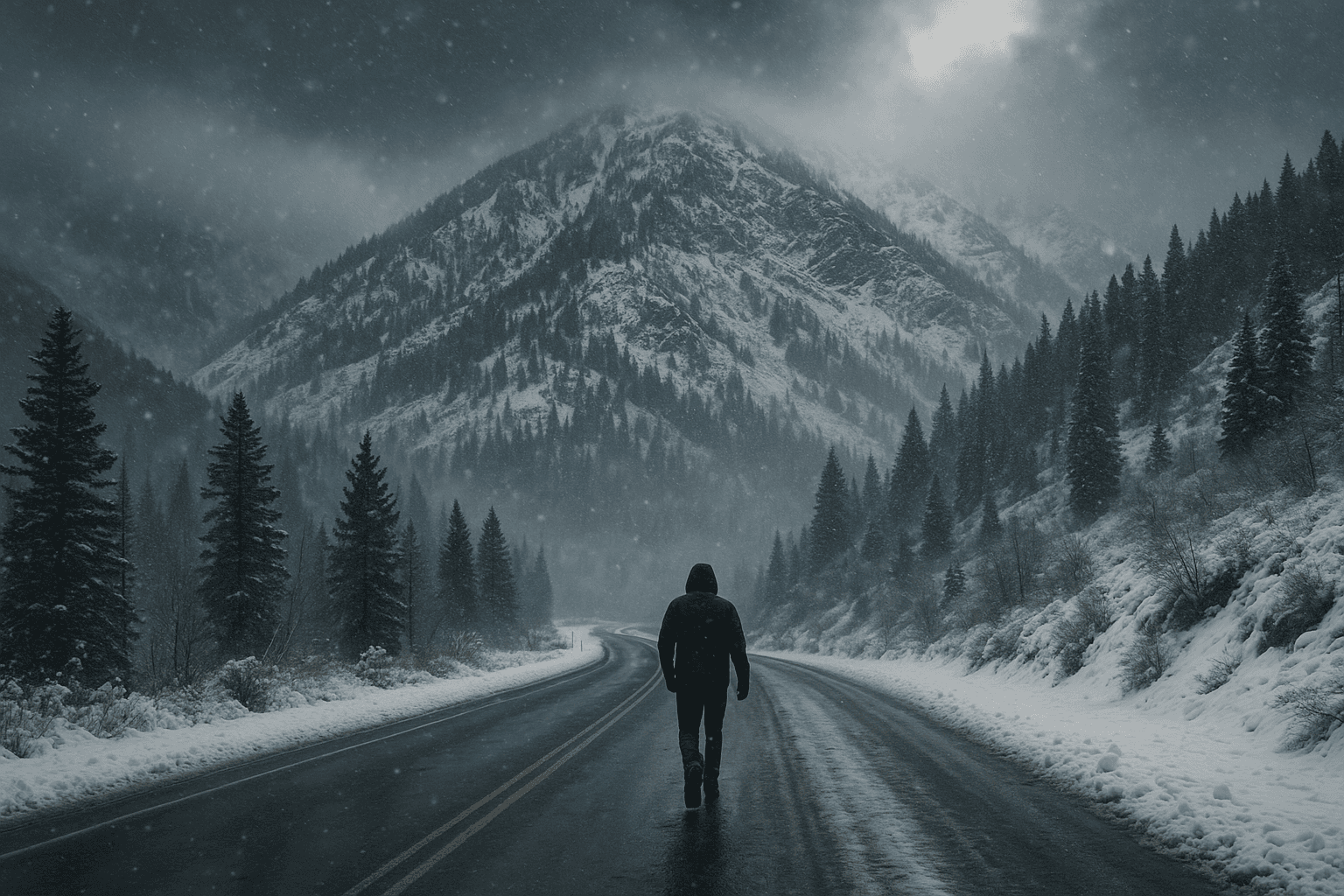
Travel and outdoor planning should account for both the new snowfall potential and the hard frozen surfaces that follow cold nights. Local snow clearing and avalanche services will monitor the incoming storm and its effects on snowpack stability in transition zones where new snow overlays thin layers.
Beyond the midweek system, the extended outlook signals potential for another storm cycle later in the week, maintaining an active pattern. Residents and visitors should plan for intermittent winter weather, watch road conditions before travel, and expect continued variability as the Wasatch works to rebuild snowpack from persistent deficits.


