Light Snow Across Sullivan County Leaves Slick Spots, Milder Air Arrives
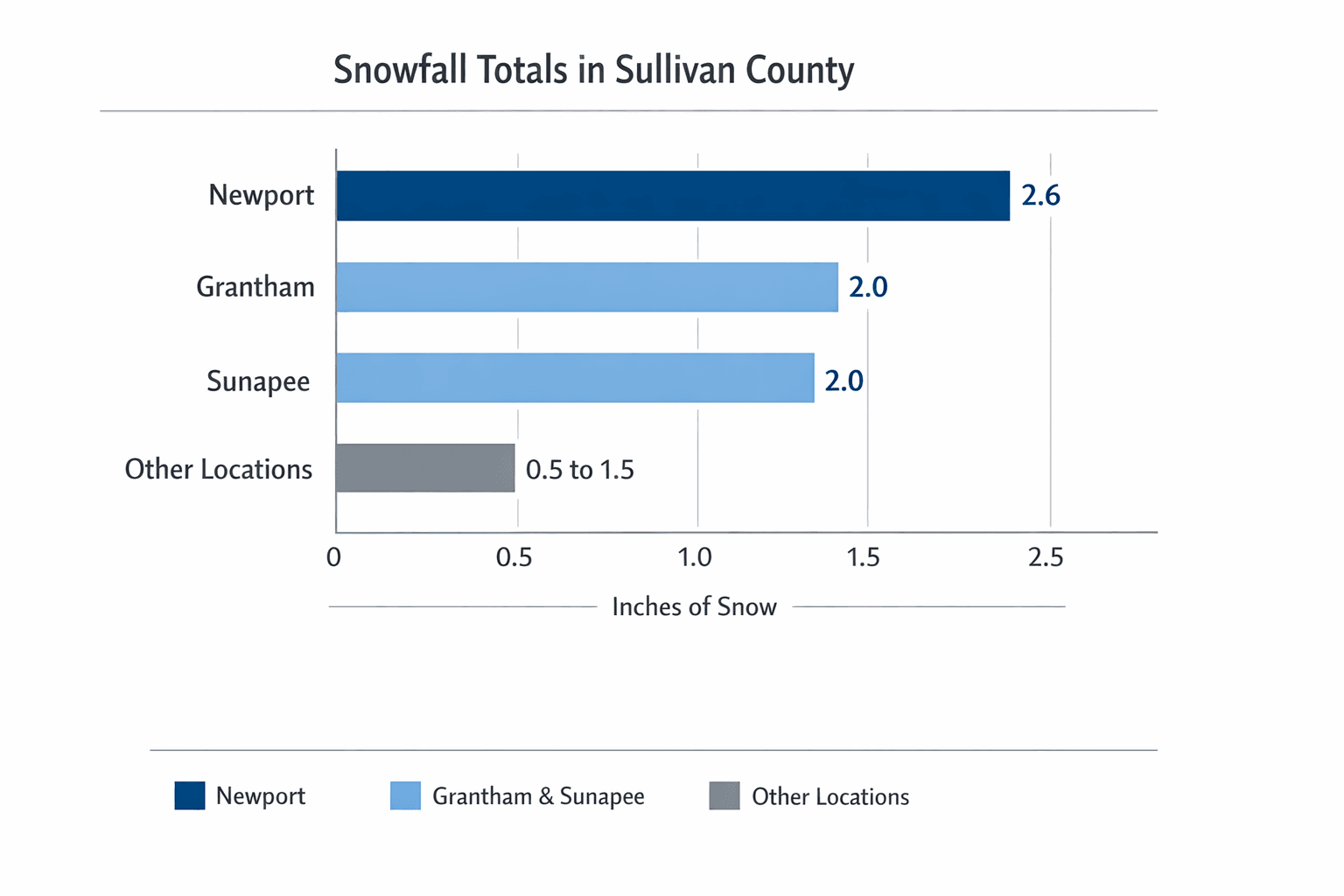
Sullivan County saw light snowfall overnight into Wednesday, with Newport reporting 2.6 inches and Grantham and Sunapee each recording 2.0 inches. The small accumulations created isolated slick spots and a risk of overnight refreezing as temperatures dipped into the 20s, but forecasters say milder weather is expected in the days ahead.
A brief winter system moved through Sullivan County overnight into Wednesday, leaving generally light accumulations across the region. Town-by-town reports collected by WMUR showed Newport with the highest selected total at 2.6 inches, while Grantham and Sunapee each reported 2.0 inches as of Wednesday afternoon. The state list included many other measurements, and officials noted amounts varied greatly from place to place.
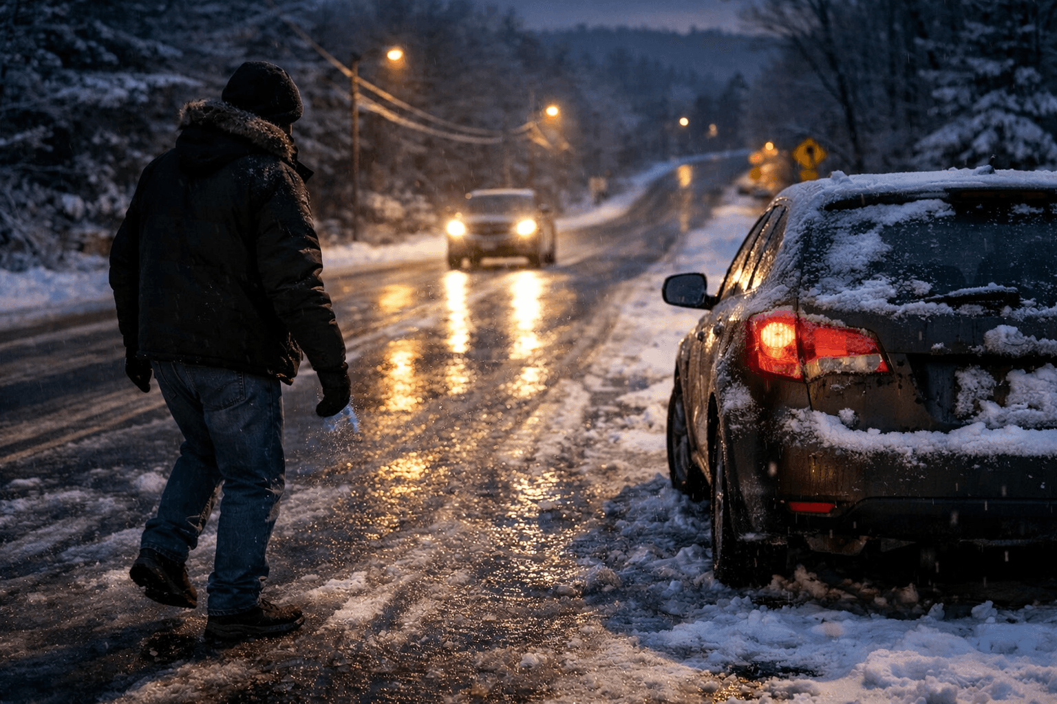
The Storm Watch 9 team said milder air was moving in after the event, but warned of a refreezing risk overnight as temperatures fell into the 20s. That combination — fresh snow on road surfaces followed by subfreezing temperatures — raises the potential for black ice on untreated pavement and bridges, particularly on rural routes and shaded sections of road common in Sullivan County.
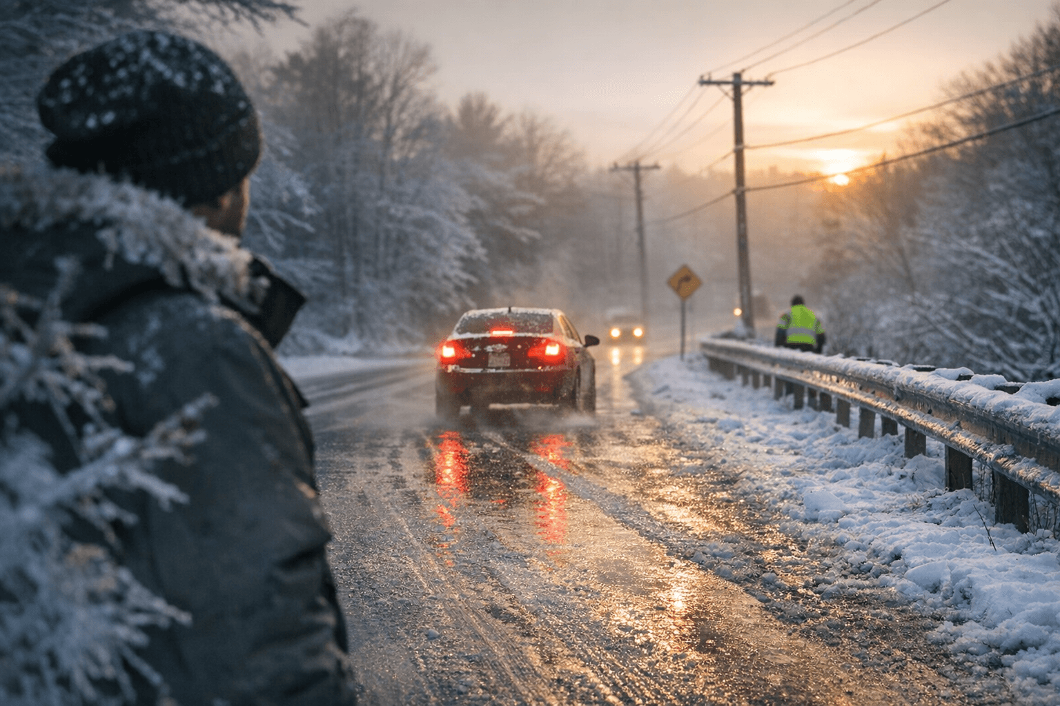
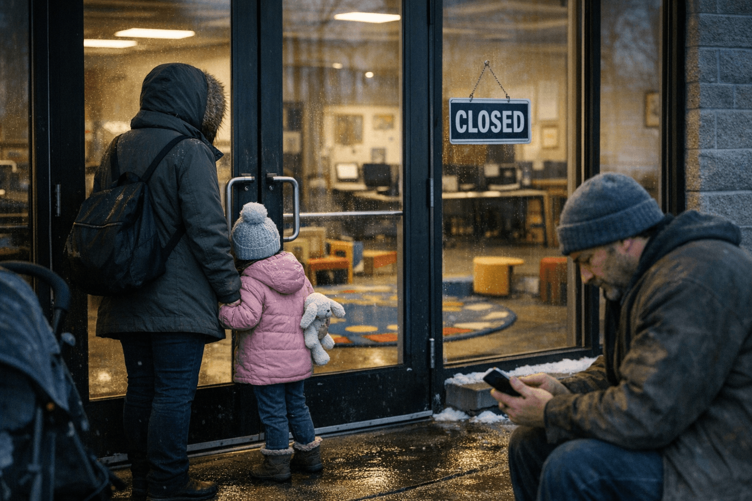
Local impacts were limited given the modest totals, but the accumulation was enough to create slick spots on secondary roads, sidewalks, and parking lots. Municipal highway departments routinely treat high-traffic corridors and town centers, but residents should be alert during morning commutes and when walking near entrances and steps. Businesses that rely on foot traffic and early morning deliveries can expect some short delays as crews clear entrances and clear ice-prone surfaces.
Beyond immediate travel concerns, recurring light storms like this one add to seasonal winter maintenance costs for towns across Sullivan County. Even small events require plowing, sanding, and salt application, which cumulatively affect municipal budgets and road salt inventories. On the other hand, forecasters’ expectation of milder conditions over the next several days should ease near-term pressure on highway budgets and help melt residual snow in downtowns and on local trails.
From a household perspective, the combination of a brief snowfall followed by colder overnight lows can increase slip-and-fall risks and momentarily raise heating demand as residents bring systems back from setback temperatures. Conversely, the incoming milder pattern is likely to lower heating needs and improve driving conditions later in the week.
WMUR invited residents to submit local totals to weather@wmur.com to supplement their town-by-town accounting. As the week progresses, local officials and residents in Sullivan County should monitor forecasts for temperature swings and be prepared for icy patches during overnight and early morning hours before the expected milder trend takes hold.
Sources:
Know something we missed? Have a correction or additional information?
Submit a Tip