Menominee Reservation Overview Reveals Scale, Challenges and Community Needs
The Menominee Indian Tribe of Wisconsin outlines the reservation's history, geography, and contemporary facts, noting that the reservation and Menominee County are nearly coterminous and encompass roughly 235,523 acres. That combination of concentrated population centers, extensive forest and water resources, and reliance on federal funding for health and social services matters to residents because it shapes local governance, public services, and long term economic prospects.
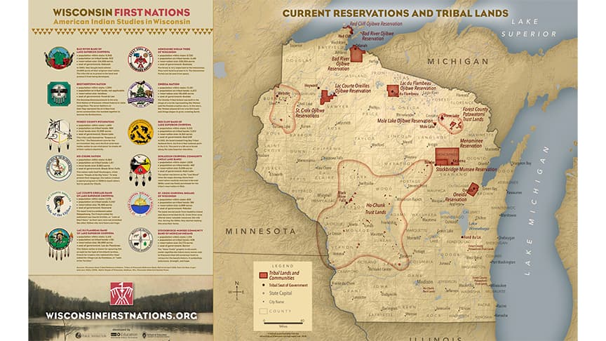
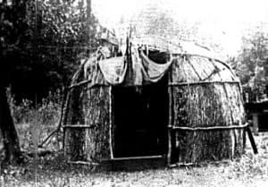
The Menominee Indian Tribe of Wisconsin provides an authoritative overview of the Tribe's history, the reservation's geography, and present day conditions. The reservation shares nearly coterminous boundaries with Menominee County and covers approximately 235,523 acres. Five communities anchor daily life on the reservation. Keshena, Neopit, Middle Village, Zoar and South Branch serve as centers for housing, education, commerce and cultural life.
Natural features define much of the county's land use and economic potential. Rivers, lakes and extensive forest lands dominate the landscape and influence recreation, land management and community planning. Those natural assets also create both opportunities and constraints for development, as large tracts of tribal land are managed under distinct legal and administrative frameworks compared with non tribal counties.
Contemporary challenges documented by the Tribe include infrastructure needs and a continued dependence on federal funding for health and social services. That funding profile matters for Menominee County residents because fluctuations in federal appropriations and administrative policies can directly affect health clinics, social programs and school services that serve reservation communities. Infrastructure challenges complicate transportation, housing and utility planning, and they increase the importance of coordinated investment by tribal, county and federal partners.
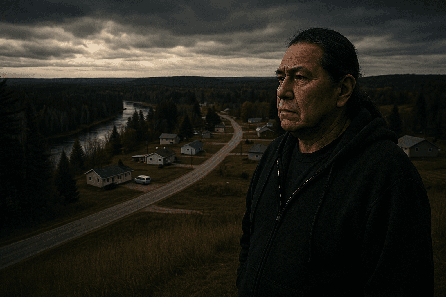
For local government and policymakers the near overlap of county and reservation boundaries raises practical questions about service delivery and fiscal planning. County officials, tribal leaders and state and federal agencies must align on road maintenance, public health responses and education resources so services operate smoothly across the same geographic footprint. For the private sector and nonprofit organizations understanding the reservation's scale and resource base is essential when considering partnerships or investments.
Long term trends to watch include the role of federal program stability in local budgets, the management of forest and water resources for economic and ecological objectives, and infrastructure investments that can improve health and education outcomes. For Menominee County residents and leaders the Tribe's overview offers essential context for reporting and decision making about government, education, health and community development on the reservation and across the county.
Sources:
Know something we missed? Have a correction or additional information?
Submit a Tip