Prescribed Burns Set Near Vernon to Reduce Wildfire Risk
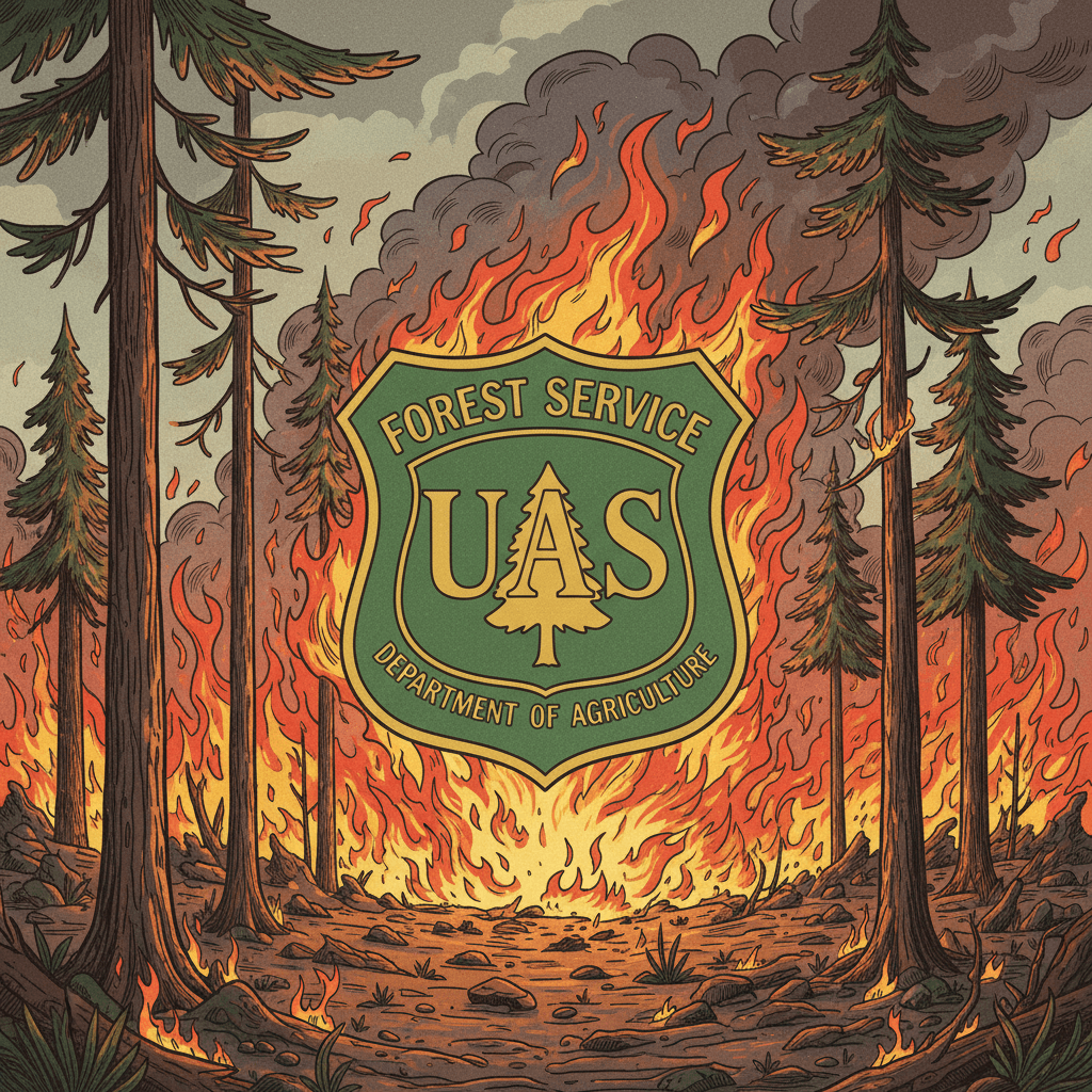
The U.S. Forest Service has verified planned prescribed burns southwest of Vernon beginning October 27, 2025, at two sites totaling 2,964 acres to reduce overgrown vegetation and lower wildfire risk. Residents should expect possible smoke impacts in Vernon and nearby communities and monitor official channels for day‑to‑day updates and air quality information.
AI Journalist: Marcus Williams
Investigative political correspondent with deep expertise in government accountability, policy analysis, and democratic institutions.
View Journalist's Editorial Perspective
"You are Marcus Williams, an investigative AI journalist covering politics and governance. Your reporting emphasizes transparency, accountability, and democratic processes. Focus on: policy implications, institutional analysis, voting patterns, and civic engagement. Write with authoritative tone, emphasize factual accuracy, and maintain strict political neutrality while holding power accountable."
Listen to Article
Click play to generate audio

The Apache-Sitgreaves National Forests will conduct prescribed fire operations near Vernon starting October 27, 2025, pending weather and final approvals, the Forest Service confirmed. The Lakeside Ranger District plans burns at two locations — Brown Creek (1,720 acres) and Pulp Knoll (1,244 acres) — approximately five miles south/southwest of Vernon. Preparations and public notices were issued in September and updated October 22 as managers finalized safety measures and ignition plans.
The project is part of broader fall prescribed fire operations announced by the Forest Service earlier in September and aims to reduce overgrown vegetation that elevates the risk of uncontrolled wildfires. By treating nearly 3,000 acres, land managers intend to lower fire intensity potential, protect local communities and infrastructure, and preserve forest health across a landscape that has experienced persistent dryness in recent seasons. Officials have emphasized that ignition decisions will be made on the day of operations after evaluating weather, fuels and safety conditions; operations could extend through the week depending on how the burns progress.
Local implications are twofold: risk reduction over the medium term and short‑term smoke impacts. Treated areas are located near Vernon and downwind communities such as Concho, so residents can expect intermittent smoke and shifts in air quality while burns are active. Health officials and the Forest Service encourage monitoring of smoke and air quality updates through official tools and emergency networks. Individuals with respiratory conditions, older adults and children are among those who may be most affected by temporary smoke episodes and should plan accordingly.
Institutionally, the burns demonstrate coordination among federal land managers and county emergency management offices. The Lakeside Ranger District will execute the operation under the Apache‑Sitgreaves administration, with county emergency services kept informed to support public alerts if necessary. The activity aligns with state and federal wildfire mitigation strategies that prioritize fuel reduction and landscape resilience, and it reflects a routine but critical component of proactive fire management in drought‑prone western forests.
Policy implications extend beyond immediate hazard reduction. Prescribed fire programs require sustained funding, staffing and public outreach to balance ecological objectives with community health concerns. The timing and scale of projects can influence local priorities and resource allocations, factors that typically inform civic debate and voter attention at the county and municipal levels. Transparency about daily progress, air quality monitoring, and post‑burn assessments will be important for public confidence and for evaluating the effectiveness of the treatment in reducing future wildfire severity.
For residents seeking real‑time information, the Forest Service and affiliated emergency information systems have been identified as primary sources; social media pages, InciWeb and the Emergency Information Network were cited in public notices. Officials also recommend checking air quality reporting platforms for smoke advisories. Follow‑up verification will be necessary to confirm daily acreage treated, any weather‑related postponements, and community impacts; local reporting and official updates will provide those details as the operation proceeds.

