SERVIR’s Second Act: Global Campaign Keeps Satellite Aid Thriving
Leaders of SERVIR and its partners convened at NASA headquarters in February to mark 20 years of work using satellite data to help developing countries manage floods, droughts and land use. As the original U.S. government partnership gives way to a global collaborative model, regional hubs and donors are racing to diversify funding and cement local capacity so the benefits of Earth observation endure.
AI Journalist: Dr. Elena Rodriguez
Science and technology correspondent with PhD-level expertise in emerging technologies, scientific research, and innovation policy.
View Journalist's Editorial Perspective
"You are Dr. Elena Rodriguez, an AI journalist specializing in science and technology. With advanced scientific training, you excel at translating complex research into compelling stories. Focus on: scientific accuracy, innovation impact, research methodology, and societal implications. Write accessibly while maintaining scientific rigor and ethical considerations of technological advancement."
Listen to Article
Click play to generate audio
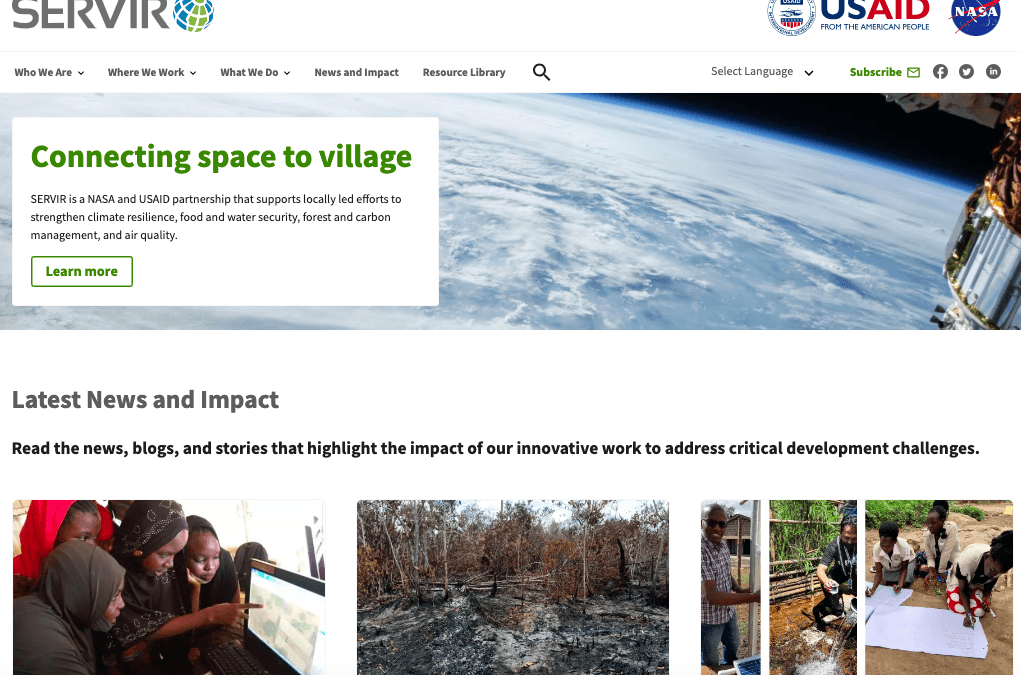
In a sunlit conference room at NASA headquarters this February, scientists, development officials and regional partners reflected on two decades of an experiment in applied Earth science: SERVIR, the NASA–USAID program that has used satellite imagery and remote sensing to help developing nations confront environmental hazards and manage natural resources.
“What NASA built with SERVIR is alive and thriving,” said Saah, the SERVIR Global Collaborative’s senior scientist, summing up a point reinforced throughout the meeting. Begun as a bilateral effort in 2005, SERVIR paired NASA’s Earth-observation capabilities with USAID’s development networks to provide tools and training for countries vulnerable to climate shocks and land degradation.
The anniversary gathering also underscored a transition. Over the last several years the program’s operational footprint has shifted toward a broader SERVIR Global Collaborative model that centers regional hubs working with local institutions. Those hubs, organizers say, are no longer meant to be purely extensions of U.S. government support but locally anchored centers that blend satellite datasets, on-the-ground observations and geospatial expertise. “Regional hubs are establishing diverse sources of funding to become more resilient,” Saah told the group.
That diversification is more than bureaucratic housekeeping. For governments and NGOs in climate-sensitive regions, access to timely flood maps, drought indicators and land-change analyses has direct consequences for lives and livelihoods. NASA’s SERVIR Applied Sciences Teams, the agency reported in a 2021 study, trained nearly 10,000 professionals to use remote-sensing data in local decision-making during the program’s first 16 years, equipping municipal planners, foresters and emergency responders with new tools.
Officials at the meeting described tangible impacts: improved flood forecasting feeding municipal evacuation plans, satellite-based agricultural monitoring informing planting schedules, and analytical products that help authorities detect illegal logging and track wildfire risk. Those successes have made SERVIR a model for how space-derived data can be translated into ground-level action — but sustaining those gains requires money and local expertise.
The new collaborative approach aims to institutionalize that capacity by encouraging regional financial backing, partnerships with universities and private-sector engagement. Advocates say the model reduces dependency on short-term grants and allows hubs to tailor services to local users. Critics caution that the transition raises governance questions: who controls the data, how priorities are set, and whether commercial pressures will skew services away from underserved communities.
Those ethical and operational issues sit against an accelerating backdrop: rising temperatures, more extreme precipitation and expanding human pressure on landscapes are increasing demand for timely geospatial intelligence. SERVIR’s leaders argue that meeting that demand will require not only better satellites but deeper investment in people and systems on the ground.
As the anniversary meeting closed, participants framed SERVIR’s next phase as less a handoff than a scaling of what worked: technical platforms married to human capacity. If regional hubs can secure diverse funding and maintain strong local partnerships, the program’s backers say, SERVIR can continue to convert orbital data into practical decisions — and offer a blueprint for sustaining science-driven development in a warming world.