Two Paths Forward: INDOT's Mid-States Picks Signal Boom for Dubois Travel, But at What Cost to Farmlands?
In a pivotal move for southern Indiana's roadways, the Indiana Department of Transportation (INDOT) on October 8 unveiled its Draft Screening of Alternatives Report for the Mid-States Corridor project, narrowing ambitious plans to two expressway options threading through Dubois County.

In a pivotal move for southern Indiana's roadways, the Indiana Department of Transportation (INDOT) on October 8 unveiled its Draft Screening of Alternatives Report for the Mid-States Corridor project, narrowing ambitious plans to two expressway options threading through Dubois County. This $1 billion-plus initiative aims to bridge a 23-mile gap between U.S. 231 and Interstate 69, promising slashed commute times and smoother freight flow for a county where agriculture and industry hum along two-lane backroads. The selected routes—Alternative 2B and Alternative 3B—emerge from six concepts floated last April, both envisioning four-lane, median-divided expressways capped at 60 mph.
Alternative 2B clocks in at 22.9 miles with a $1.05 billion price tag, edging out on cost efficiency while claiming the lowest right-of-way needs at 1,462 acres.
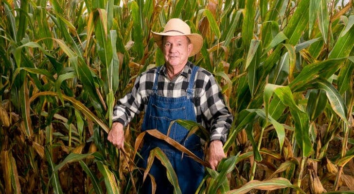
Its sibling, 3B, stretches slightly longer at 23.4 miles and $1.1 billion, but shines in minimizing home displacements (27 versus 46) and excelling on business travel reductions. Maps detail variations: potential closures at county roads like CR 1100 South, tweaks near SR 162, and access changes in Haysville to ease local traffic. Dubois County's landscape—rolling fields from Jasper to Huntingburg—stands at the crossroads.
These paths would swallow hundreds of acres of prime farmland (869 for 2B, 874 for 3B), slice through 61 acres of wetlands each, and cross thousands of feet of streams, with floodplains hit hardest under 2B.
Environmentally, mitigation plans loom large; economically, the payoff could supercharge manufacturing jobs and market access, vital as the county eyes growth beyond its rural roots. Fifteen to fourteen farm operations face relocation either way, a quiet toll on families who've tilled these soils for generations. Public input kicks off soon: an informal meeting runs October 22 from 5:30 to 7:30 p.m. at Jasper Middle School, 3600 N.
Portersville Road, where displays and one-on-one chats with INDOT staff await—no formal oral comments, but written feedback flows until November 6 via MidStatesCorridor.com or the project office at 850 College Ave. in Jasper (open Tuesdays and Thursdays, 9 a.m. to 4 p.m.).
Copies of the report are available at libraries in Jasper and Huntingburg, and INDOT’s Vincennes District office. For Dubois residents, this isn’t abstract engineering—it’s the artery that could pulse new life into daily drives and delivery trucks, or carve scars across cherished acreage. As the NEPA review advances, voices from county commissioners to affected landowners will shape whether connectivity trumps conservation. This corridor, years in the making, underscores Dubois' bet on progress: faster links to Evansville and Bloomington, but with trade-offs that demand local scrutiny.
Will 3B’s gentler touch win out, or 2B’s thrift? The October 22 session offers the first real gauge.