Visit Laramie releases comprehensive guide to Albany County trails
Visit Laramie has published an up to date guide to trails and outdoor recreation across Albany County, compiling route information, practical tips, maps and a backcountry checklist. The resource matters for local residents because it clarifies access rules, seasonal hazards, and parking and pass requirements that influence safety, visitor impacts and the local outdoor economy.

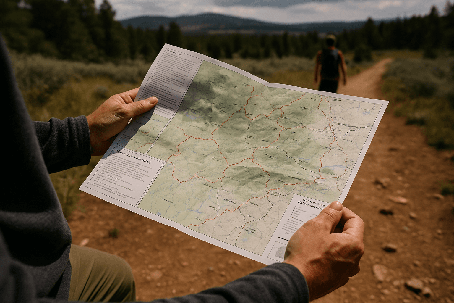
Visit Laramie has assembled a detailed, practical reference for hikers, skiers, snowshoers and other outdoor users across Albany County. The guide highlights key recreational areas including Vedauwoo with its granite hoodoo formations and popular routes such as Turtle Rock Loop and Box Canyon Glen Dome. It also covers the Snowy Range Mountains and Medicine Bow Peak, the latter reached via Highway 130 near Centennial and rising above 12,000 feet. Local trail networks such as Pilot Hill and the Pilot Hill foothills connectivity project are noted alongside multi use areas at Happy Jack and Pole Mountain and the Medicine Bow Rail Trail.
The guide centers on safe year round recreation and contains specific user guidance. No permits are required for most day use areas, but the page explains parking fees and lists which interagency passes are accepted at common trailheads. Leash rules for dogs in day use areas are explained and Leave No Trace principles are emphasized. A backcountry checklist and links to Forest Service visitor maps for the Snowy Range, Vedauwoo and popular trailheads give users the information needed to plan winter outings and high elevation trips.
For Albany County residents the guide serves multiple practical functions. Clear information on access and fees can reduce confusion at trailheads during busy weekends and holidays. Detailed map links and a checklist help households make safer decisions for winter travel on Highway 130 and other mountain approaches, which is especially important when weather can change rapidly at higher elevations. The emphasis on stewardship and trail connectivity supports local efforts to manage recreational pressure while maintaining access.
There are broader economic and planning implications. Year round outdoor recreation supports local lodging, guiding services and retail, and better informed visitors can reduce emergency responses and trail degradation. The inclusion of the Pilot Hill connectivity project underscores municipal interest in linking neighborhoods to trails for recreation and non motorized transportation. For residents and visitors preparing trips this winter, the Visit Laramie pages consolidate route descriptions, access rules and official Forest Service maps into a single, local reference for safer and more sustainable outdoor use.