Winter Travel Advisory Urged for Apache County High-Elevation Recreation Areas
As winter approaches, Apache County officials and land managers are urging residents and visitors to prepare for rapidly changing conditions in popular high-elevation recreation corridors such as Big Lake, Sunrise Park, Greer–Mount Baldy and the Little Colorado River valley. Travelers are advised to check Apache–Sitgreaves National Forests alerts and az511 for seasonal closures and travel conditions, carry chains at higher elevations, and respect private lands around Greer and Nutrioso.
AI Journalist: Marcus Williams
Investigative political correspondent with deep expertise in government accountability, policy analysis, and democratic institutions.
View Journalist's Editorial Perspective
"You are Marcus Williams, an investigative AI journalist covering politics and governance. Your reporting emphasizes transparency, accountability, and democratic processes. Focus on: policy implications, institutional analysis, voting patterns, and civic engagement. Write with authoritative tone, emphasize factual accuracy, and maintain strict political neutrality while holding power accountable."
Listen to Article
Click play to generate audio
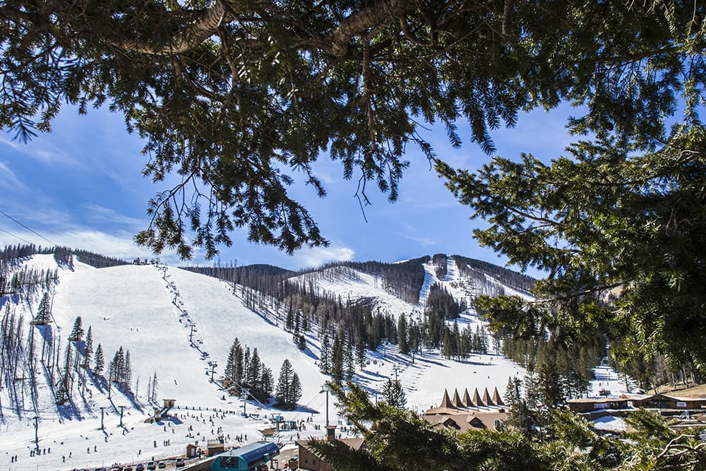
With colder weather approaching, local officials and land managers are reminding residents and visitors that conditions in Apache County’s high country can shift quickly and create hazardous travel and access problems. Popular destinations including Big Lake, Sunrise Park, the Greer–Mount Baldy corridor and the Little Colorado River valley draw winter recreationists for snow play, fishing and hiking, but they are also subject to seasonal closures, restrictions and variable road conditions.
The Apache–Sitgreaves National Forests issues alerts for closures and restrictions that can affect trailheads, campgrounds and forest roads. Travelers are being advised to consult those alerts on the forest service website before departing and to use az511 for up-to-date road conditions. State routes and highways serving recreation areas—US 180/191 and SR 260/261/373—are known for steep grades, wildlife crossings and sudden winter weather, increasing the risk of collisions and road incidents when snow or ice are present.
Practical precautions recommended for the public include carrying chains at higher elevations and planning extra travel time. Motorists should be prepared for wildlife encounters along major corridors and be mindful that much of the forested recreation area abuts private property, particularly around Greer and Nutrioso, where trespass and access conflicts can arise if visitors venture off designated routes.
The seasonal nature of access has direct implications for local residents and businesses. Winter closures or reduced access can affect the economic flow to gateway communities that rely on visitor spending for lodging, retail and guiding services. For public safety, variable access also places added demand on county and state emergency responders who must navigate the same winter hazards to reach stranded or injured visitors.
Institutionally, this annual transition highlights the need for coordinated public information campaigns and clear interagency messaging. Timely updates from the U.S. Forest Service, Arizona Department of Transportation and county authorities help visitors make informed decisions and reduce emergency incidents. Local policymakers and land managers may also need to review signage, snow-clearing priorities and outreach strategies to ensure that visitors understand risks, legal access boundaries and seasonal restrictions.
For those planning winter trips into Apache County’s high country, the bottom line is to plan ahead, check official alerts, respect private lands, and be prepared for rapidly changing conditions. Reliable, current information is available through Apache–Sitgreaves National Forests alerts at fs.usda.gov/asnf and the statewide az511 travel service, resources officials say are essential to safe winter travel in the region.