Chicago Student Journalists Map ICE Activity Near University Campuses
Student journalists at Loyola University Chicago and the University of Chicago have built interactive maps that log reported sightings of federal immigration enforcement officers and related arrests, using photos, timestamps and GPS data to corroborate submissions. The projects aim to inform and protect campus communities while raising questions about transparency, privacy and the accountability of federal agencies.
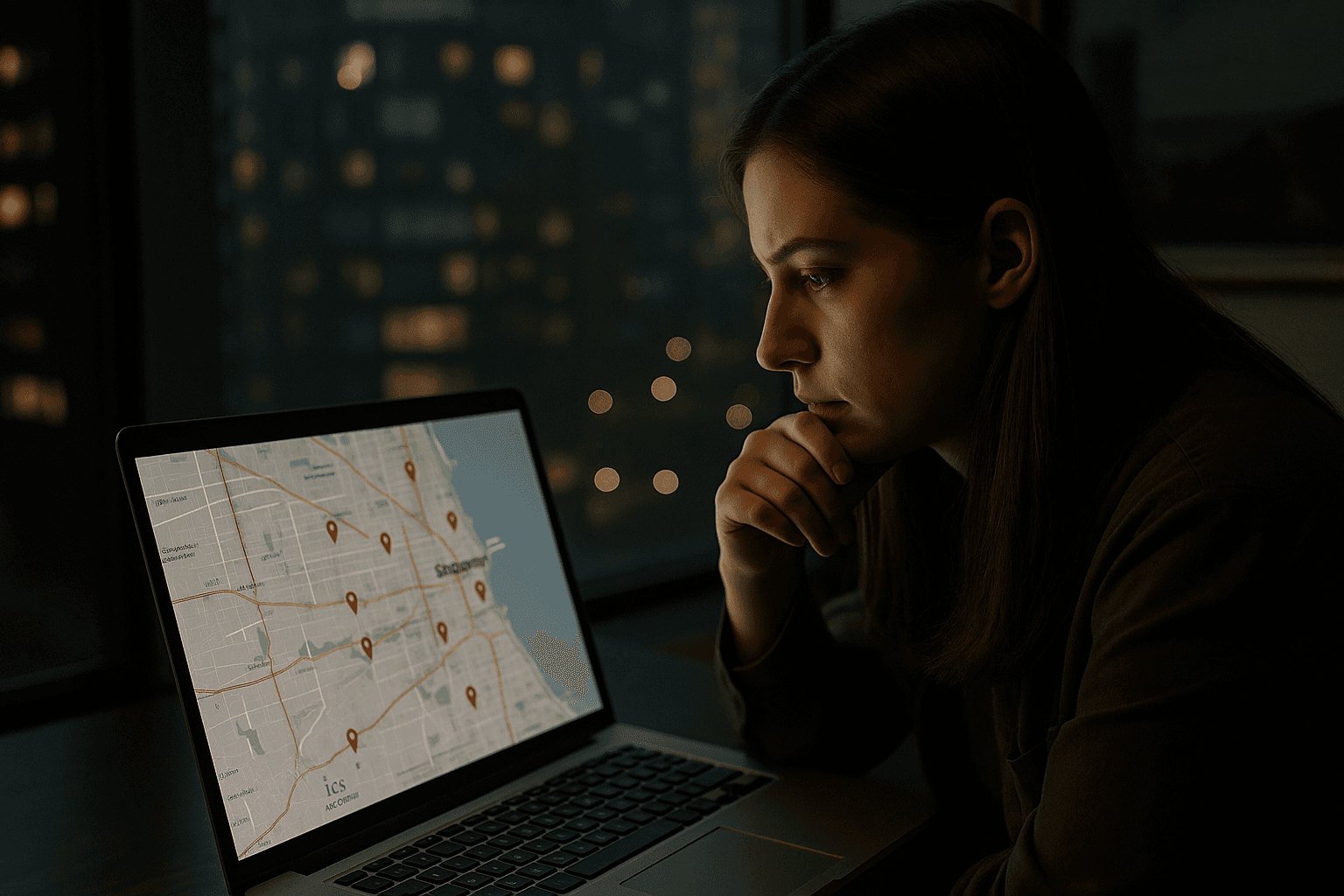
Student journalists across Chicago have launched publicly accessible, interactive maps that document and verify sightings of federal immigration enforcement officers and reported arrests near campus, creating a near real time visual record built from community reporting and journalistic verification.
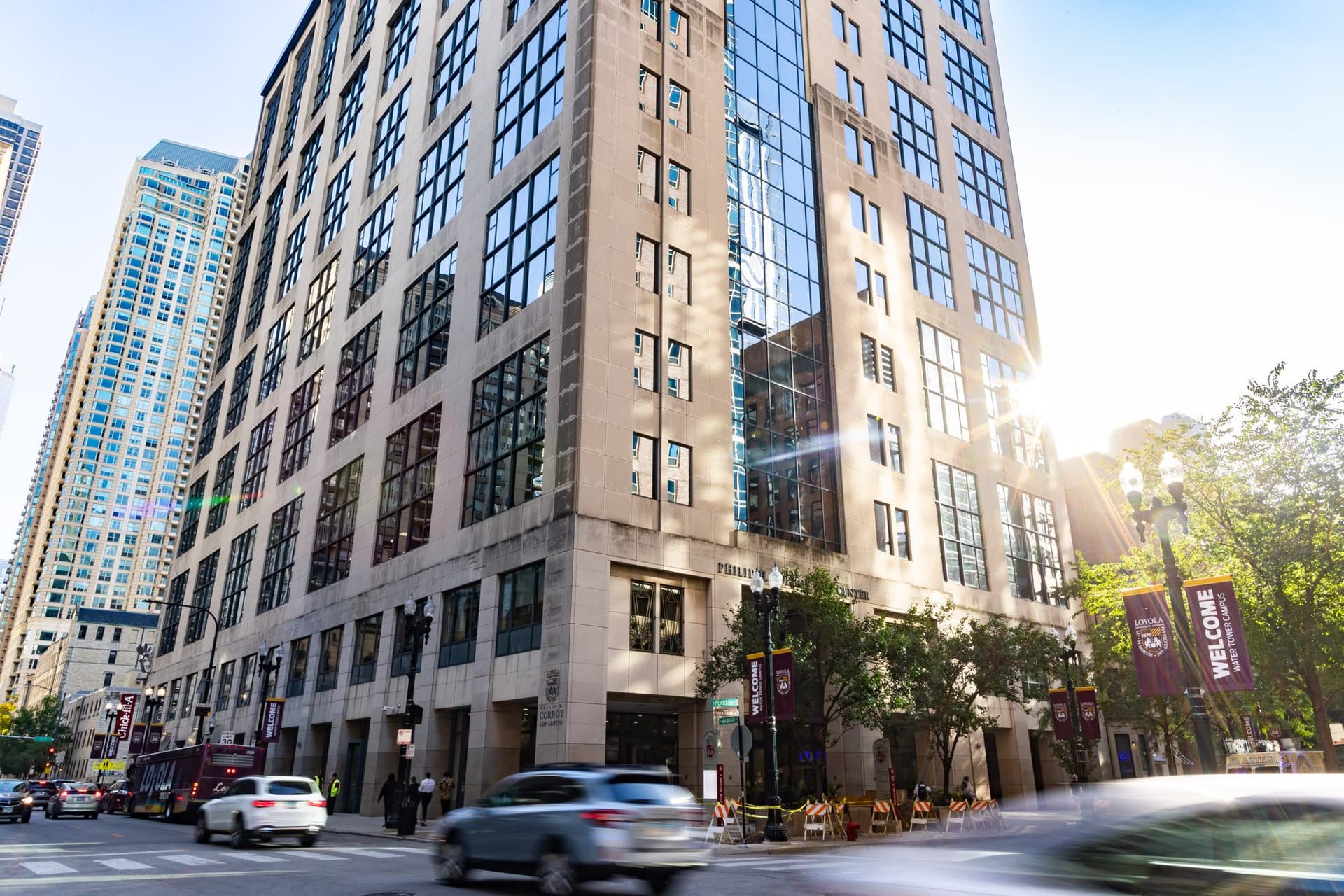
Reporting published on December 13, 2025 by Reuters describes how student journalists at Loyola University Chicago solicit tips from the campus community, then corroborate submissions with photographic evidence, timestamps and location data before pinning verified sightings to a public map. The Chicago Maroon, the student newspaper at the University of Chicago, has published a similar interactive map that includes photographs and GPS coordinates for reported enforcement scenes and invites tip submissions with timestamped photos or videos. Student press outlets and other coverage in late 2025 documented parallel efforts at multiple Chicago campuses, with an October 28 item by Brendan McDonald ’25 and Emily Sturge describing student run newspapers launching maps that track and publish movements of immigration enforcement officers and urge community reporting.
The projects use crowdsourced tips as a starting point and rely on verification steps to reduce error. Editors and student reporters check submitted photos against timestamps and location metadata, and corroborate witness accounts before adding a pin to a publicly accessible map that displays the scene and any related documentation. In some cases the maps also log reported arrests. Coverage emphasized the procedural emphasis on evidence based verification and the publication of specific data elements, including GPS coordinates and imagery, that allow users to see where enforcement activity has been observed.
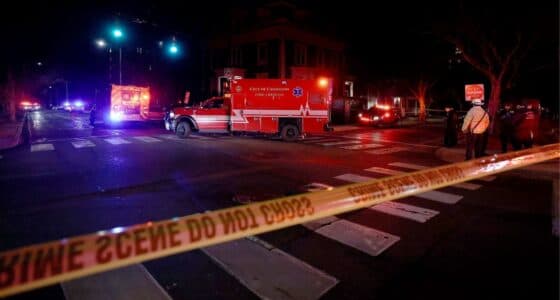
Student journalists framed the maps as tools to alert campus communities and to create a public record of enforcement presence and arrests near university property. Supporters say the work amplifies civic engagement by providing a channel for students and staff to report incidents and to see verified patterns of activity. The efforts align with long standing roles of student press in documenting local events that affect campus safety and civil liberties.
The initiatives also prompted debate in media coverage about framing and implications. Some outlets described the maps using language that emphasized surveillance or political context, while Reuters and The Chicago Maroon focused on methods and verification. Coverage across outlets was consistent on the core facts, but differed in tone and emphasis, reflecting broader tensions over law enforcement transparency, privacy and public safety.
The reporting available to date does not establish whether the mapping projects coordinate with outside advocacy groups, nor does it include legal analysis of the implications of photographing or publishing federal officers or detailed arrest data. The cited accounts also do not include responses from immigration enforcement agencies or university administrations addressing the projects.
As public tools that document federal activity near campuses, the maps underscore how digital reporting and community sourced data are reshaping how institutions, students and the public monitor enforcement in shared spaces. The work raises immediate policy questions for universities and federal agencies about transparency, oversight and the balance between public information and privacy.
Know something we missed? Have a correction or additional information?
Submit a Tip