Dry November Leaves Kauai Drier Than Average, Records Set
November brought below average rainfall across much of Kauai, producing record dry months at several lowland stations while northern coasts and high elevations recorded significant rainfall. The pattern matters for local water management, agriculture and planning because it trimmed year to date rainfall percentages and highlighted growing month to month variability.

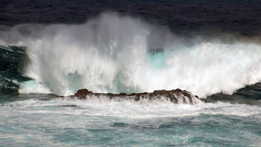
November across Kauai finished drier than normal overall, with a few intense but localized rainfall episodes early in the month. Several lowland sites recorded their driest November on record for the periods of record noted, including Hanapepe and Waimea Heights, while Port Allen nearly matched its driest November since 2004. These dry outcomes came despite isolated heavy downpours in the island north and interior elevation zones.
The most extreme short term totals were in Hanalei, which measured roughly 10 inches of rain in an eight hour span on November 2 and 11.2 inches in 24 hours. The USGS gauge on Mount Waiʻaleʻale recorded the island high for the month at 32.08 inches. Those totals underscore the spatial contrast in November precipitation, where northern coastal areas and central higher elevations remained near to above average while much of the rest of the island saw below average totals and in many locations a drier November than October.
Meteorological drivers shifted through the month. Early month fronts and upper level lows produced the wet pulses for windward and high elevation sites. Mid month localized wetter events occurred before conditions stabilized into a drier trade wind dominated pattern that closed out November. The drier final weeks slightly lowered year to date rain as a percentage of average for the island as a whole, though higher elevations and northern coasts remain near to above average for the year to date.
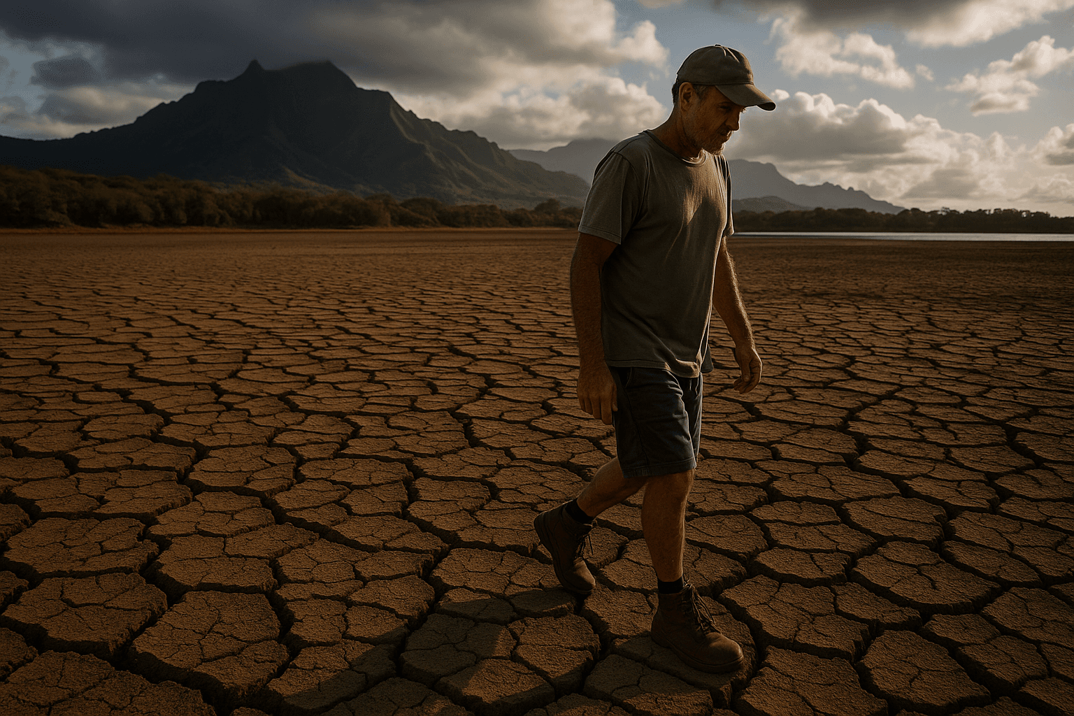
For residents and local decision makers the mixed November picture has concrete implications. Lower than normal rainfall at lowland stations can place added pressure on irrigation demand for agriculture and on municipal water systems if dry conditions persist. Month to month swings of this magnitude raise management costs when growers and utilities must shift between surplus and deficit scenarios. From a broader perspective, the pattern reinforces the need for flexible water allocation, ongoing monitoring of reservoir and stream conditions, and preparedness for both intense short term floods in windward corridors and dry spells elsewhere on the island.
Local officials and water managers will be watching December totals to determine whether the late month drying represents a temporary lull or the start of a longer dry period that could require conservation measures.
Sources:
Know something we missed? Have a correction or additional information?
Submit a Tip