Forest Service Orders Winter Road Closures in Dolores County
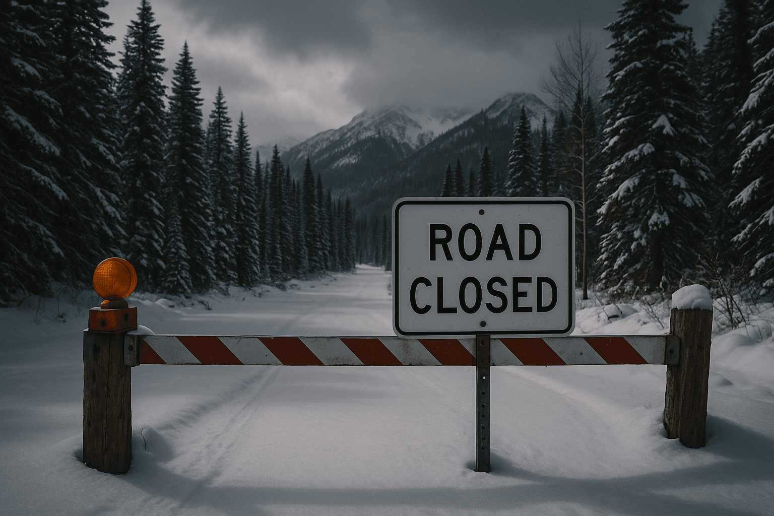
The San Juan National Forest issued a seasonal closure for the Dolores Ranger District, putting several Forest Service roads and some trails off limits beginning December 1. The move aims to protect winter range for deer and elk and to prevent road damage during freeze and thaw cycles, and it will affect hunting, riding, and over snow travel for local residents.
The San Juan National Forest issued a seasonal closure affecting the Dolores Ranger District on December 5, with closures that began December 1 and remain in effect. The agency said the restrictions cover many Forest Service roads and some trails to reduce disturbance to wintering deer and elk and to limit damage to roads caused by freeze and thaw cycles. The Forest Service also warned that additional closures may be posted as conditions evolve.
Specific closures within the Dolores Ranger District include Forest Service roads NFSR 328 in Echo Basin, NFSR 504 along the Dolores River below McPhee Dam, NFSR 528 and 529D at House Creek, NFSR 240 and 241 at Ryman Creek, and NFSR 568 along the railroad grade near Mancos Hill and the McPhee Overlook Trail. Those routes provide access for hunters, snow riders, and other winter recreationists, and the restrictions will change travel plans for many county residents and visitors.
Local impact will be immediate for people who plan to hunt, ride or travel over the snow on routes named in the closure. Landowners, outfitting operations and small businesses that depend on winter recreation may see reduced traffic and altered customer demand. Public safety concerns and infrastructure protection are central to the decision, since wet spring roads and repeated freeze and thaw can create costly damage and unsafe conditions if heavy vehicles use vulnerable routes during winter.
Institutionally, the closures reflect routine seasonal management by the Forest Service that balances wildlife conservation against recreational access and local economic activity. The agency pointed residents to motor vehicle use maps and the forest current conditions pages for up to date status and additional notices. Forest managers said they will adjust postings as weather and field conditions change.
Residents planning travel on National Forest roads should verify motor vehicle use maps and the current conditions pages before heading out, and contact the Dolores Ranger District with questions or for clarification. Observing the closures reduces wildlife disturbance, protects forest infrastructure, and helps ensure safe travel for all users when conditions improve.