Hells Canyon Byway posts seasonal update - plan for spring-summer travel
The Hells Canyon Byway posted a January 2026 update advising the loop road typically opens around Memorial Day; check road and trail conditions before travel.
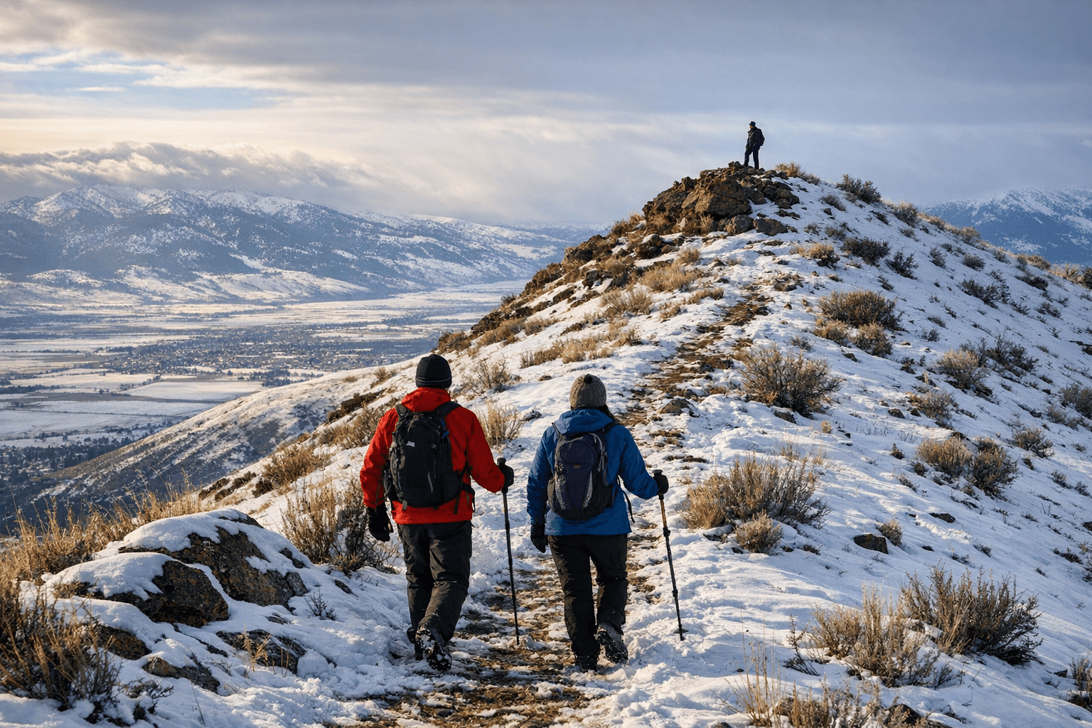
The Hells Canyon Scenic Byway site posted a January 2026 seasonal update that lays out what Baker County residents and visitors should expect as the region prepares for spring and summer recreation. The post reiterates that the byway loop road and Forest Service Road 39 open seasonally, with the loop most commonly available to motorists around Memorial Day, and it emphasizes routine early-season hazards such as potholes, livestock on open range and debris from winter runoff.
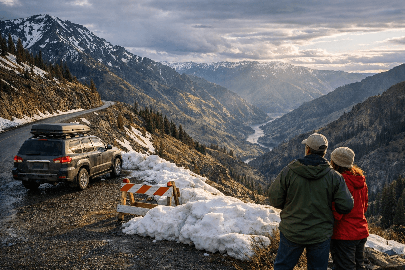
The update puts safety and information first. Motorists are urged to drive cautiously on early-season routes and to check current conditions with the Halfway or Joseph ranger district offices for the latest trail, campground and backroad status. For day trips, the notice highlights a paved two-mile spur to the Hells Canyon Overlook as an accessible side trip that is often usable even when longer dirt loops remain closed.
For Baker County the timing of the byway opening matters beyond recreation. Local outfitters, campgrounds, motels and restaurants see the bulk of visitor demand concentrated in the summer months that follow the Memorial Day opening. A later or staggered opening can shift visitor flow and compress the season, concentrating revenue and staffing pressures into fewer weeks. Likewise, early-season road damage from potholes and debris increases maintenance costs for local agencies and can raise liability and repair needs for private operators who rely on steady access to trailheads and river put-ins.
The seasonal note also reinforces a practical checklist for anyone planning travel: confirm current opening dates on the byway and U.S. Forest Service pages, expect variable road conditions on FS 39 and neighboring backroads, and plan for livestock on open range. Those headed for photo vantage points or short hikes should consider the Hells Canyon Overlook spur as a lower-risk option while longer routes remain being cleared and repaired.
Longer term, the update reflects an ongoing pattern in high-elevation and canyon corridors: spring weather variability affects not only access but the local economy that depends on predictable summer traffic. For Baker County leaders and businesses, that means monitoring openings closely, staging staff and supplies to match shifting demand, and factoring road repair timelines into season planning.
Our two cents? Before you hop in a car for the canyon, check the byway and U.S. Forest Service pages, set realistic travel times for rough surfaces, and favor shorter paved spurs like the two-mile overlook if you need a reliable outing while the backroads are still being cleared.
Sources:
Know something we missed? Have a correction or additional information?
Submit a Tip