Levee District Releases Marks Flood Maps After 2024 Quitman Flood
The Yazoo-Mississippi Delta Levee District published printable Marks flood maps and held its regular monthly board meeting on January 8, 2026, both items aimed at supporting flood management in Quitman County. The resources and the public meeting are significant for residents and local officials as they shape planning, recovery, and preparedness following the Quitman County flood of 2024.
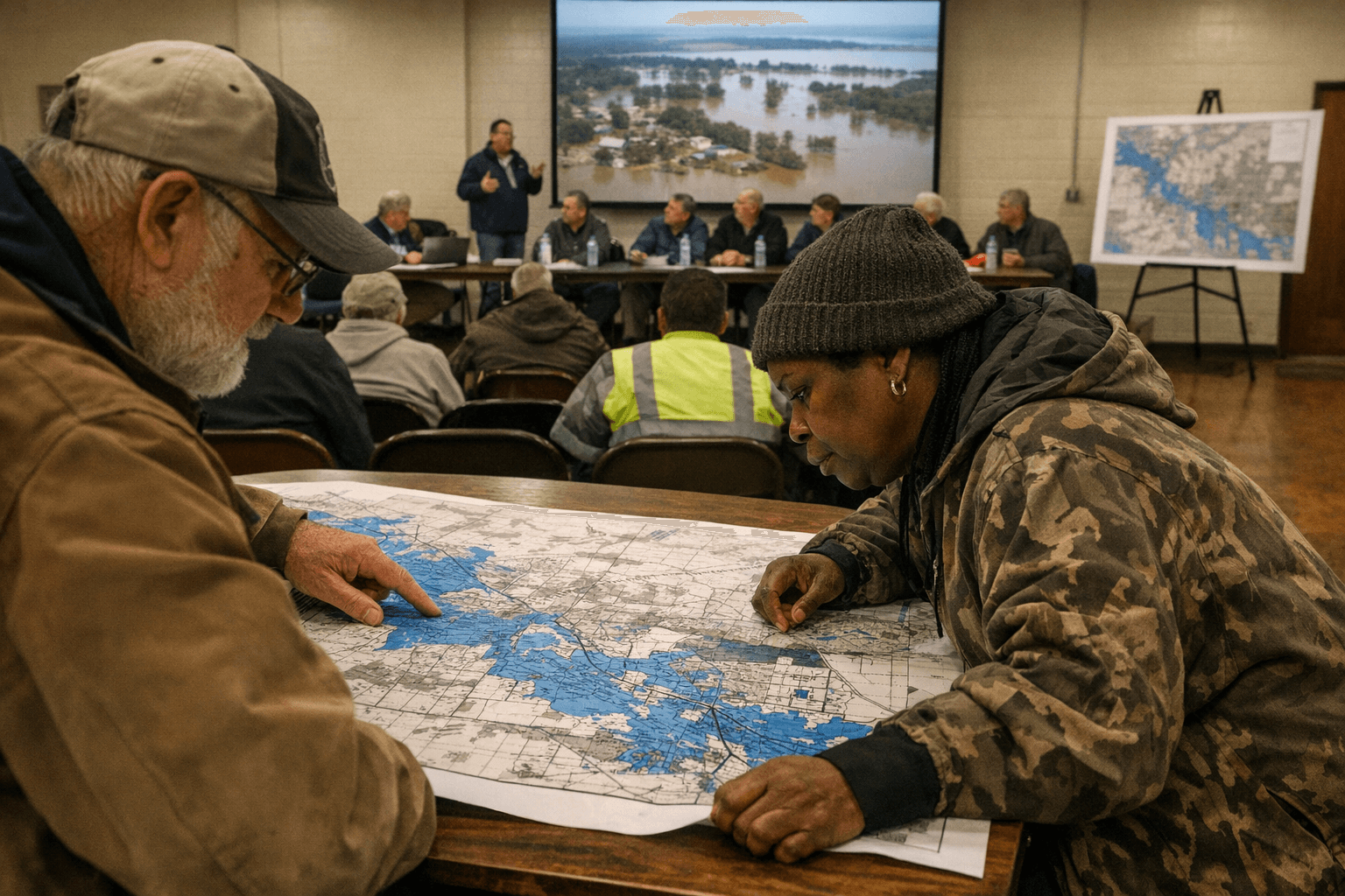
The Yazoo-Mississippi Delta Levee District made printable Marks flood maps available and convened its regular monthly board meeting on January 8, 2026, with the session open to the public. The district’s postings also include other calendar entries and previous meeting notes, underscoring its ongoing role in levee and flood management that affects Quitman County communities.
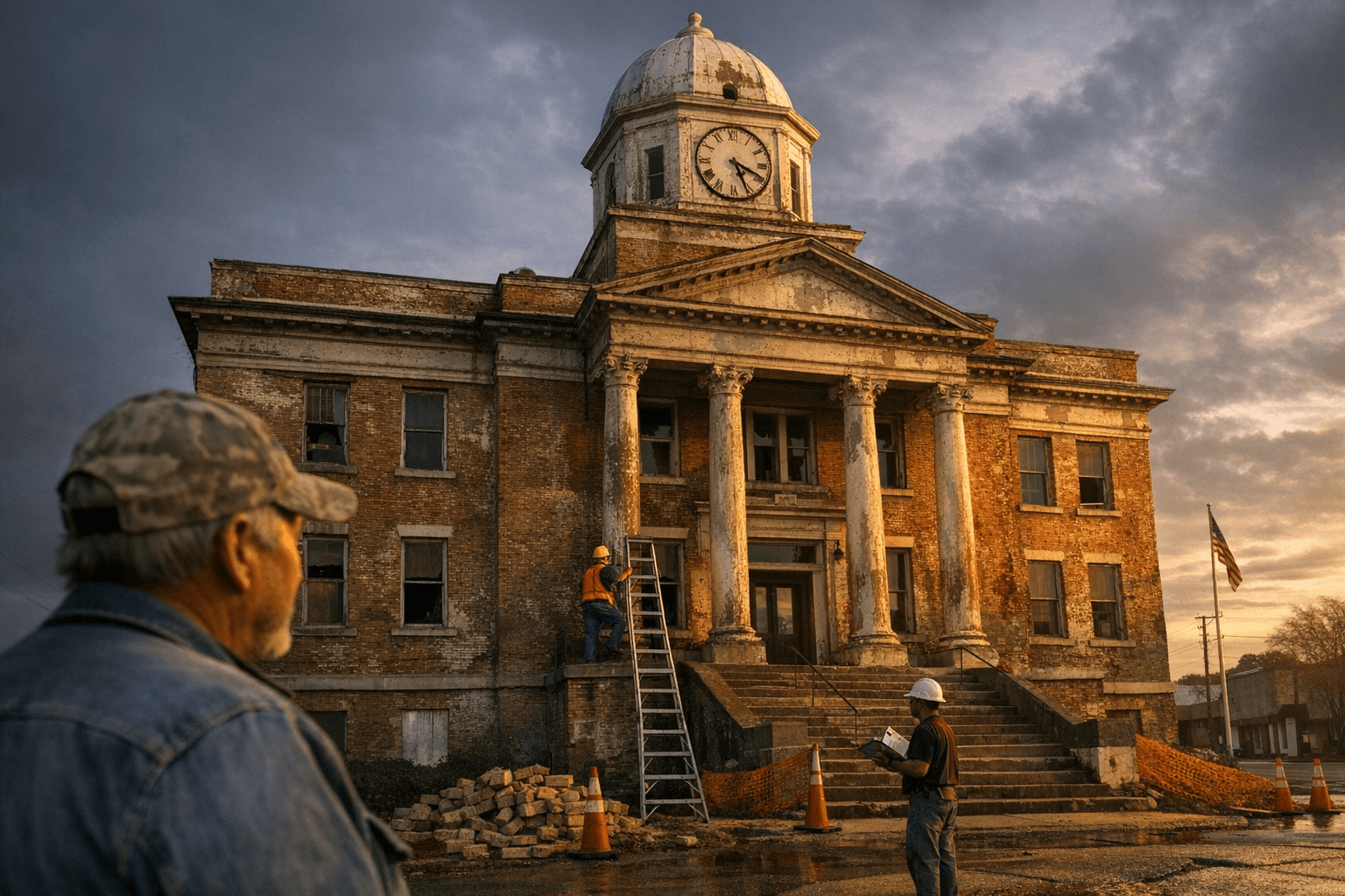
The Marks flood maps provide a focused geographic resource for residents, landowners, local officials, and emergency planners working in the area hardest hit during the Quitman County flood of 2024. Access to printable maps can inform property-level decisions such as evacuation planning, post-flood repairs, floodproofing investments, and conversations with insurance providers. For municipal and county officials, the maps are a practical tool for prioritizing levee inspections, infrastructure maintenance, and grant applications tied to hazard mitigation.
The board meeting on January 8 offered a public forum for oversight of the district’s work and a scheduled opportunity for civic input. Regular monthly meetings are part of the district’s governance cycle; maintaining open sessions and archived notes strengthens transparency about levee operations and spending priorities. Publicly accessible calendar entries and previous minutes expand the ability of residents to track decisions that affect flood protection and land-use planning.
Policy implications reach beyond immediate recovery needs. Accurate, accessible flood mapping underpins long-term planning decisions such as where to reinforce levees, which road sections to prioritize for elevation or repair, and how to allocate limited mitigation funds. The district’s mapping and meeting schedule intersect with local zoning, infrastructure investment, and emergency management responsibilities, making sustained intergovernmental coordination essential.
For Quitman County residents, the immediate step is practical: review the Marks flood maps and the district’s meeting records to understand localized flood risk and planned actions. Civic engagement through attendance at future board meetings and review of posted notes increases community influence over levee maintenance priorities and flood mitigation choices. As the county continues recovery and prepares for future high-water events, readily available mapping and open governance will remain central to accountability, effective planning, and public safety.
Sources:
Know something we missed? Have a correction or additional information?
Submit a Tip