New OSU Ecostate Mapping Guide Targets Sagebrush Management in Baker County
On January 9, Baker Sage-grouse LIT flagged a new Oregon State University Extension publication that uses satellite and big data to map rangeland condition across sagebrush landscapes. The guide offers local land managers, ranchers, and policymakers a practical tool to prioritize work on invasive grasses, wildfire risk, and conifer encroachment, with implications for land-use planning and wildfire resilience in Baker County.
Baker County conservation groups and land managers received a boost on January 9 when Baker Sage-grouse LIT publicized an October 2025 Oregon State University Extension Service publication titled Threat-Based Ecostate Mapping: Using Big Data to Guide Management Across Sagebrush Landscapes. The document is presented as a practical, peer-reviewed resource intended to show where sagebrush systems are most at risk and where targeted intervention will produce the greatest benefit.
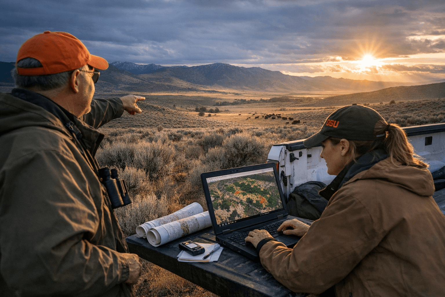
The publication uses ecostate maps generated from satellite and other big data to depict landscape-scale rangeland condition, identify concentrations of invasive grasses, highlight areas vulnerable to wildfire, and show zones experiencing conifer encroachment. Baker Sage-grouse LIT described the release as “…a powerful new resource for land managers, researchers, and anyone interested in rangeland conservation.” The group added, “This peer-reviewed guide breaks down how ecostate maps, built from satellite and other big data, reveal where sagebrush is thriving, where it’s strained, and where action is most needed.” They also said, “Whether you’re a land steward, agency partner, rancher, or conservationist, this guide offers clear insights and real examples to help make data-driven decisions on the ground.”
For Baker County, where private ranchland, public grazing allotments, and sage-grouse habitat overlap, the maps can change how agencies and landowners set priorities. Land managers can use the data to focus treatments such as invasive-grass control, targeted grazing or prescribed fire, and conifer removal in locations where science shows the greatest potential to restore sagebrush ecosystems. Local governments and commissioners can also draw on the evidence to inform land-use policy, grant applications, and budget decisions tied to wildfire mitigation and conservation programs.
The guide's emphasis on monitoring changes over time gives Baker County a tool for measuring the effect of interventions and tracking emerging threats. That capability is relevant to emergency preparedness and long-term planning: officials can better justify investments in fuel reduction and habitat restoration when they can point to landscape-scale, data-driven priorities.
The full publication is available to read and download via Oregon State University Extension’s catalog as publication EM-9613. As Baker County faces continued pressure from invasive species, shifting fire regimes, and private-public land management challenges, this new mapping tool provides a scientific basis for more targeted, accountable decision making by landowners, agencies, and elected officials.
Sources:
Know something we missed? Have a correction or additional information?
Submit a Tip