Sullivan County Trails Guide Maps Year Round Accessible Outdoor Destinations
A concise local trails guide highlights accessible year round outdoor destinations across Sullivan County, including state parks, town forests, and historic riverbank walks. The guide provides practical safety and stewardship tips, and directs residents to town conservation commissions and local land trusts for current trail conditions.
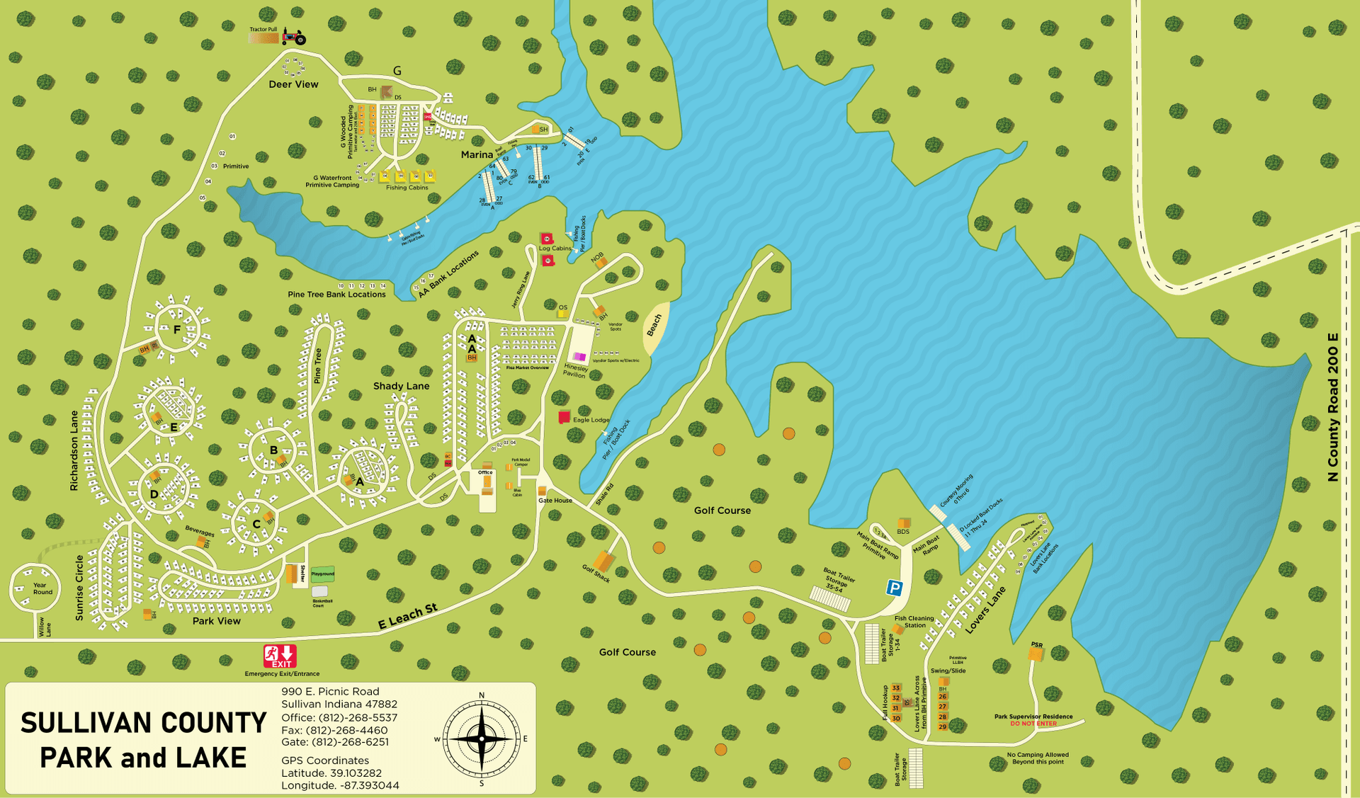
Sullivan County offers a compact network of trails that can serve families, casual walkers, and more experienced hikers throughout the year. Key destinations include Mount Sunapee State Park for moderate hikes with lake views, Pillsbury State Park for loop routes and short family walks, and the Corbin Covered Bridge area in Newport for easy riverbank strolls and historic site viewing. Local forest options include Grantham Town Forest and the Powder Mill Trail, both suited to beginner friendly outings. Arrowhead Recreation Area in Claremont provides multi use trails and facilities geared toward family recreation. In addition, several small conservation parcels managed by local land trusts host seasonal birdwatching and snowshoe friendly paths.
These sites matter to residents because they concentrate recreational access, support local economies through outdoor visitation, and form a first line of defense for local conservation. Trail use increases demand on parking, signage, and maintenance, and it highlights the role of municipal planners and conservation commissions in setting priorities and budgets for stewardship. Residents who value access to nearby open space will find these routes useful for weekend recreation, family outings, and year round fitness.
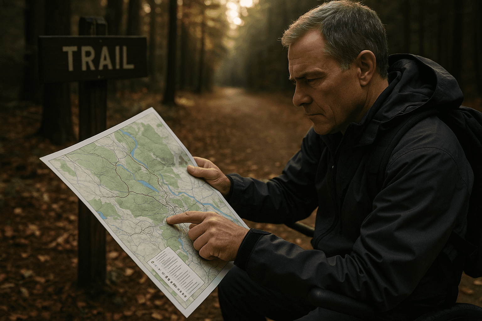
The guide emphasizes practical steps for safe and responsible use. Trailhead parking etiquette is important to preserve neighborhood access and emergency vehicle routes. Winter footwear and traction recommendations can reduce injuries on icy sections. Trail users should check trail postings for closures and for notices about invasive species before visiting. For the most current status on trails and conservation parcels residents should contact their town conservation commissions and local land trusts directly for updates and maps.
Policy and civic engagement implications are clear. Sustaining this trail network requires ongoing funding decisions at the town level, active volunteer stewardship, and clear communication from land managers. Attending conservation commission meetings, volunteering for trail maintenance days, and reporting posted concerns helps ensure these public resources remain safe and welcoming. Local officials and land trusts share responsibility to maintain signage, manage invasive species, and plan parking capacity as use grows.