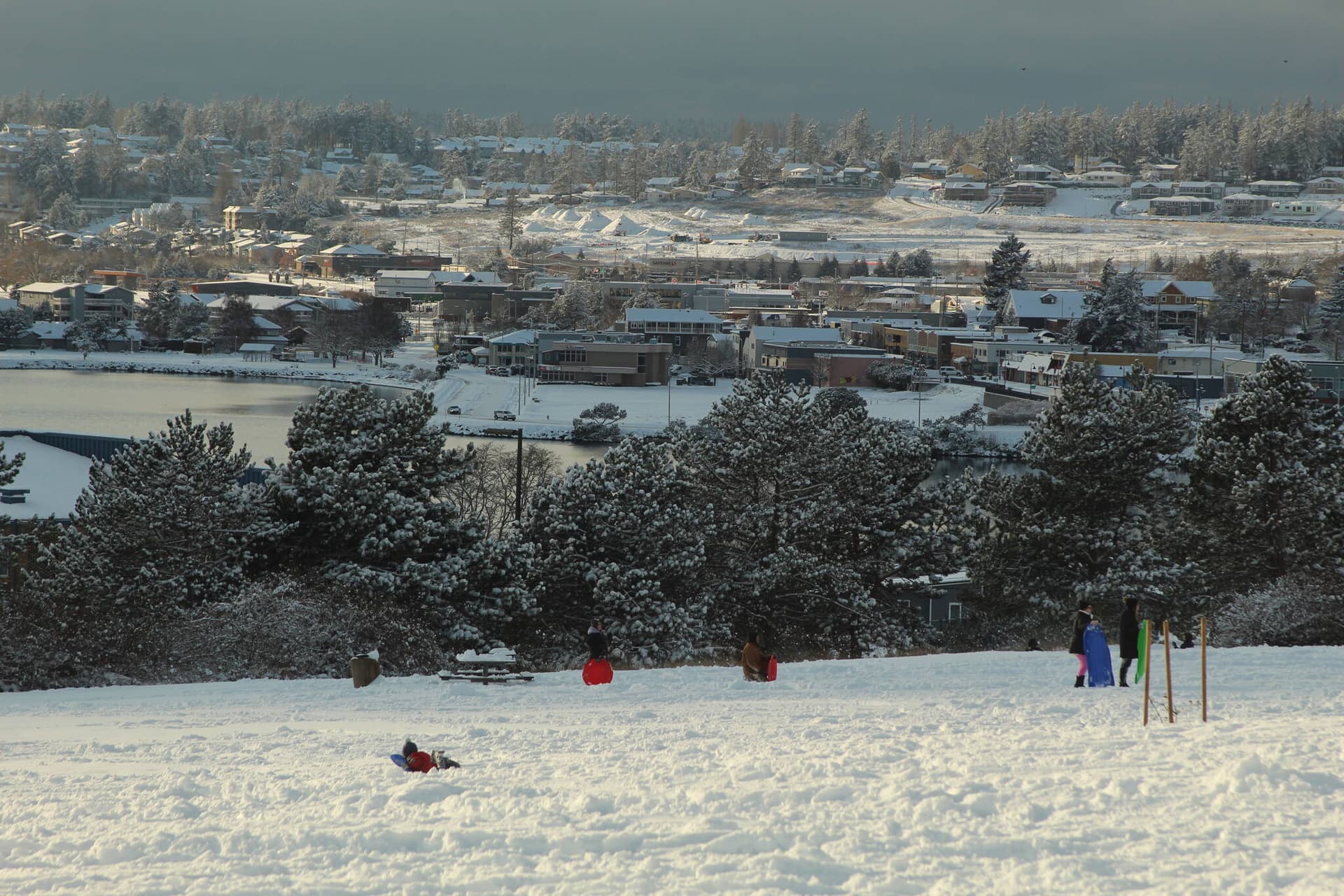
How Islanders Should Document High Tide and Coastal Flooding
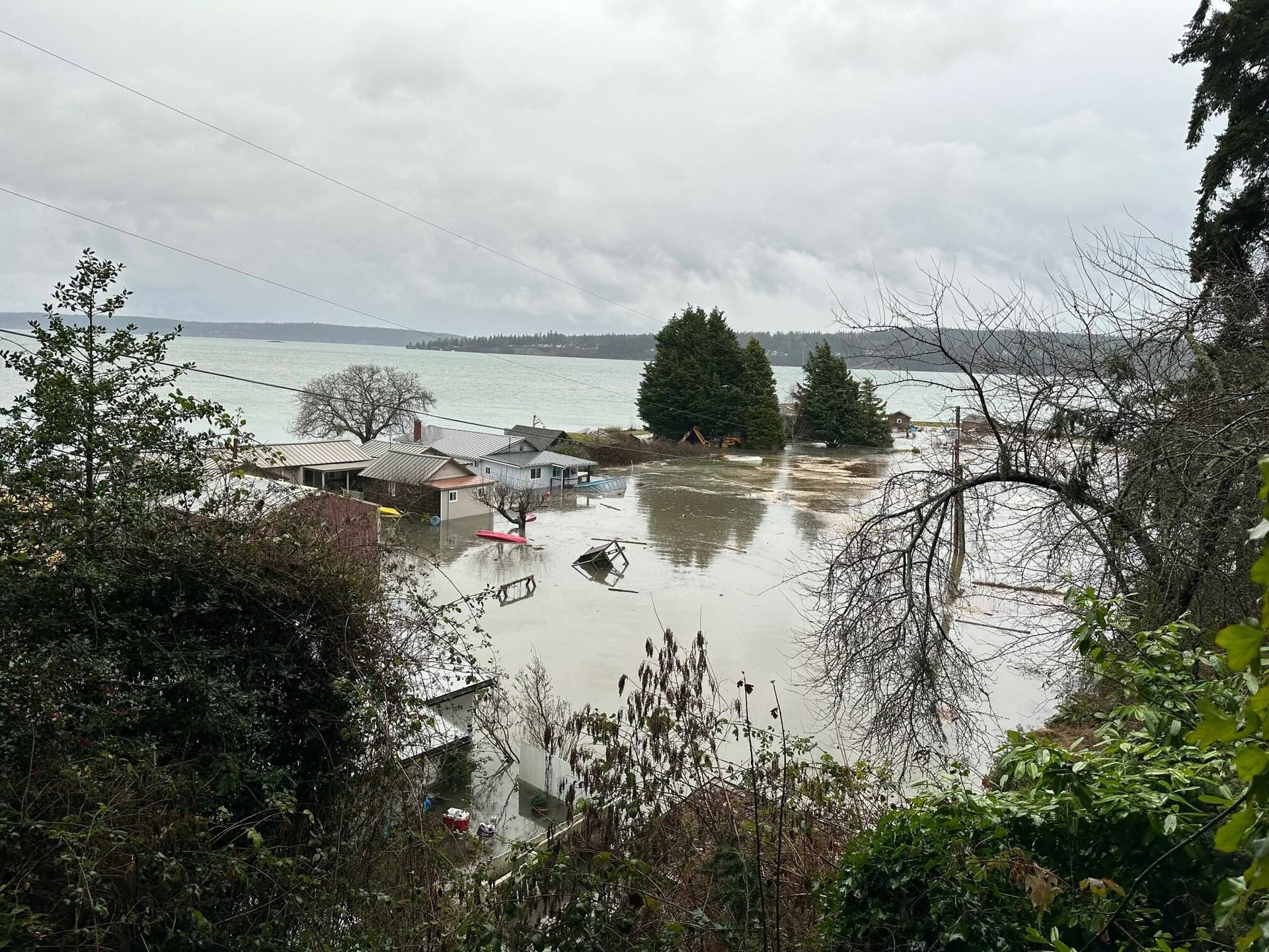
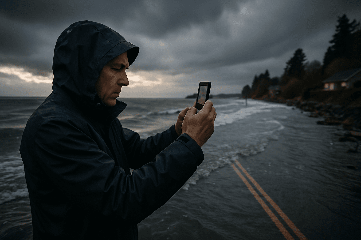
Islanders should record clear, time stamped photos and exact locations of high tide and coastal flooding, and submit them to local and state programs so planners and emergency managers can better assess risk. Doing this helps Island County prioritize road repairs, shoreline protections and resilience investments that affect property safety and local budgets.
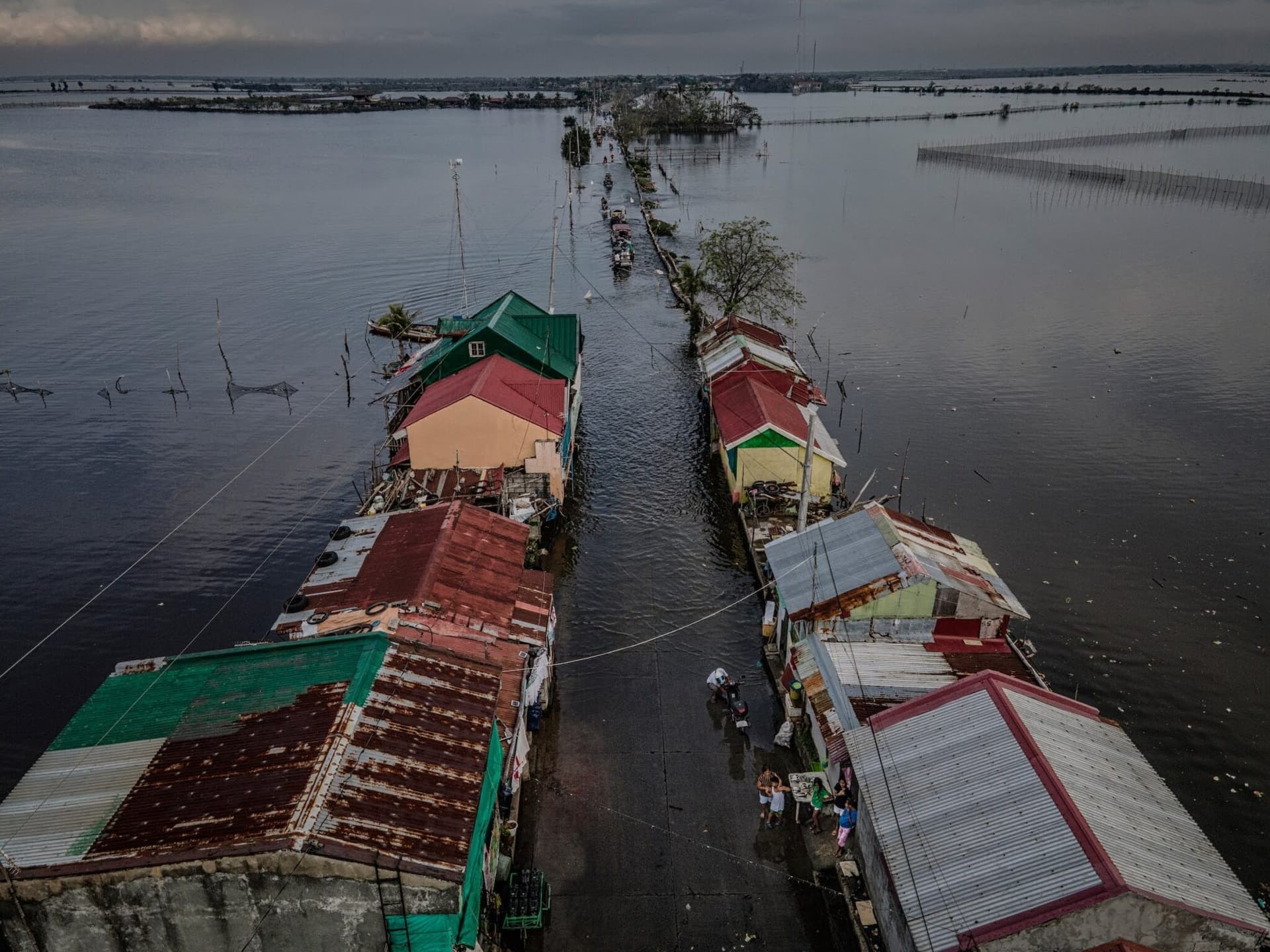
Island residents can play a direct role in improving coastal flood planning by documenting high tide and coastal flooding with consistent, detailed observations. Clear photos that note the exact time, precise location and visible waterline reference points are most useful. These citizen observations feed into local response, infrastructure planning and longer term resilience efforts that influence repair schedules, insurance considerations and capital spending.
Start by photographing the scene with the camera time visible or with phone timestamps enabled. Record an exact location using GPS coordinates or the nearest street address and landmark. Include a permanent reference point in the frame such as the base of a seawall, a building corner, utility pole or road centerline so observers can judge water depth and extent. Take several perspectives, including a wide shot to show context and a close up to document the waterline against the reference point. Note the observed conditions, including tide stage if known, and whether waves or storm surge were present.
Submit observations through state and regional citizen science programs and local photo submission portals that aggregate community data for planners. The Washington State Department of Ecology supports tide monitoring and community science efforts that accept photos and observations. NOAA tide charts and local tide forecasts provide predicted times and heights for nearby stations, and pairing a local observation with the forecasted tide improves its analytic value.
Locally, send reports and photos to Island County Public Works and to Island County Planning and Community Development so staff can include the observations in assessments of coastal flood risk. Volunteer groups that collect photos and field observations also share results with planners and emergency managers to help prioritize vulnerable roads, utilities and shoreline locations.
Better local data reduces uncertainty for decision makers and helps target limited public funds to the most at risk locations. Islanders who document flooding help shape the evidence base that informs resilience projects, emergency response plans and long term economic decisions about infrastructure investments. Record clearly, time stamp your images, note exact locations and submit materials to county offices and state portals to make local observations count.